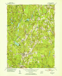
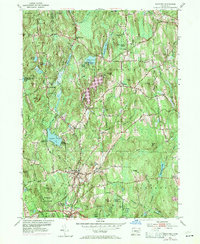
1953 Map of Eastford
USGS Topo · Published 1954About this map
The Natchaug River and Bigelow Brook carve through a landscape of dense woodland and scattered agricultural clearings in this mid-century portrait of northeastern Connecticut. Several small hubs of settlement anchor the local geography, including Eastford, Phoenixville, and West Woodstock. The map illustrates a rural society organized around small civic institutions, with the Red and White Sch and numerous burial grounds like North Ashford Cem and Woodstock Central Cem serving as local landmarks. Large tracts of public land are already established, notably the Nipmuck State Forest and Natchaug State Forest, the latter of which features a Lookout Tower on a high point. Hydrological features dominate the terrain, from the large Crystal Pond to numerous smaller bodies like Morse Meadow Pond and Chamberlain Pond, illustrating the water-rich character of the Windham County highlands.
Find a feature on this map
90 named features on this map. Tap any name to fly to it.
Don’t see what you’re looking for? This feature index may not catch every label — zoom into the map to look around manually.
Map Details
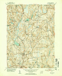
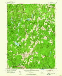
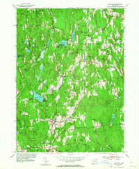
Editions of this 1953 Eastford Map
5 editions found
Other maps of this area

1887 · Brookfield
USGS Topo · 1:62,500

1889 · Webster
USGS Topo · 1:62,500

1889 · Putnam
USGS Topo · 1:62,500

1890 · Brookfield
USGS Topo · 1:62,500

1892 · Woodstock
USGS Topo · 1:62,500

1892 · Webster
USGS Topo · 1:62,500

1893 · Putnam
USGS Topo · 1:62,500

1893 · Brookfield
USGS Topo · 1:62,500

1908 · Quinsigamond
USGS Topo · 1:125,000

1908 · Ware
USGS Topo · 1:125,000