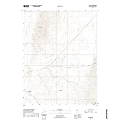
2018 Map of Eastgate
USGS Topo · Published 2018About this map
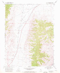
Middlegate and Eastgate serve as the primary human touchpoints in this arid Churchill County landscape, situated along the corridor between the Clan Alpine Mountains and the East Gate Range. The map reveals a drainage system defined by the Eastgate Wash and several seasonal watercourses including Rock Cr, Bench Cr, and Willow Cr. A critical water source in this high-desert environment is noted at White Rock Springs, positioned centrally among the shifting elevations. The layout of transport routes and sparse settlements highlights the importance of these specific locations as waypoints for travelers crossing the basin-and-range terrain of central Nevada. This 2018 survey provides an accurate view of the contemporary land use and topographic relief in a region where water and relief dictate the patterns of movement and habitation.
Find a feature on this map
15 named features on this map. Tap any name to fly to it.
Don’t see what you’re looking for? This feature index may not catch every label — zoom into the map to look around manually.
Map Details
Editions of this 2018 Eastgate Map
This is the sole edition of this map. No revisions or reprints were ever made.
Other maps of this area
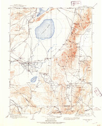
1908 · Carson Sink
USGS Topo · 1:250,000
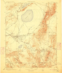
1910 · Carson Sink
USGS Topo · 1:250,000

1955 · Millett
USGS Topo · 1:250,000
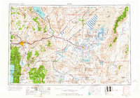
1957 · Reno
USGS Topo · 1:250,000
1959 · Reno
USGS Topo · 1:250,000

1959 · Millett
USGS Topo · 1:250,000
1960 · Reno
USGS Topo · 1:250,000
1969 · Camp Creek Canyon
USGS Topo · 1:24,000
1969 · Quartzite Mtn NW
USGS Topo · 1:24,000
1969 · Cold Springs
USGS Topo · 1:24,000