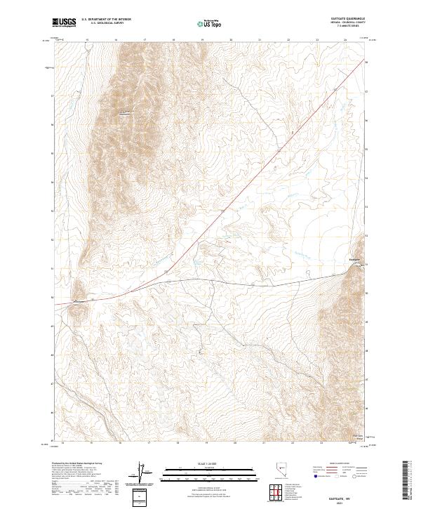
2021 Map of Eastgate
USGS Topo · Published 2021About this map
The Clan Alpine Mountains dominate the northwestern portion of this Churchill County landscape, giving way to the broad drainage of Eastgate Wash as it cuts across the high desert floor. This 2021 survey documents the sparse but historically significant corridor along the route between Middlegate and Eastgate, two critical stopping points in the Great Basin. The terrain is defined by dramatic elevation changes, shifting from the peaks of the East Gate Range in the southeast to the intermittent flow of Rock Cr and Willow Cr.
Find a feature on this map
15 named features on this map. Tap any name to fly to it.
Don’t see what you’re looking for? This feature index may not catch every label — zoom into the map to look around manually.
Map Details
Editions of this 2021 Eastgate Map
This is the sole edition of this map. No revisions or reprints were ever made.
Other maps of this area

1908 · Carson Sink
USGS Topo · 1:250,000

1910 · Carson Sink
USGS Topo · 1:250,000

1955 · Millett
USGS Topo · 1:250,000

1957 · Reno
USGS Topo · 1:250,000

1959 · Reno
USGS Topo · 1:250,000

1959 · Millett
USGS Topo · 1:250,000

1960 · Reno
USGS Topo · 1:250,000

1969 · Camp Creek Canyon
USGS Topo · 1:24,000
1969 · Quartzite Mtn NW
USGS Topo · 1:24,000

1969 · Cold Springs
USGS Topo · 1:24,000