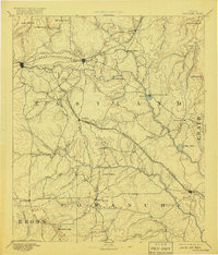
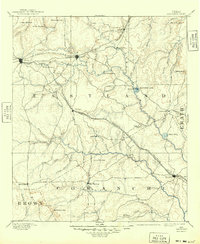
1894 Map of Eastland
USGS Topo · Published 1918About this map
Texas and Pacific Railroad and Texas Central Railroad define the industrial landscape of this late 19th-century survey, linking the emerging towns across the heart of the Central Texas oil and cattle country. The settlements of Cisco, Eastland, and Ranger occupy the northern corridor, established during a period of rapid development prior to the famous oil booms that would later transform these coordinates. In the southeast, the Leon River and its numerous tributaries like Hog Creek and Ellison Branch create a complex drainage network that dictated early ranching boundaries and settlement patterns.
Find a feature on this map
45 named features on this map. Tap any name to fly to it.
Don’t see what you’re looking for? This feature index may not catch every label — zoom into the map to look around manually.
Map Details
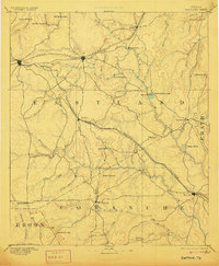
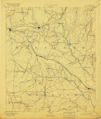
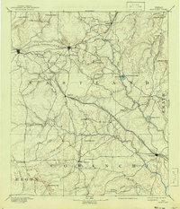
Editions of this 1894 Eastland Map
6 editions found

Other maps of this area

1887 · Coleman
USGS Topo · 1:125,000

1888 · Hamilton
USGS Topo · 1:125,000

1889 · Brownwood
USGS Topo · 1:125,000

1889 · Coleman
USGS Topo · 1:125,000

1890 · Stephenville
USGS Topo · 1:125,000

1890 · Breckenridge
USGS Topo · 1:125,000

1891 · Palo Pinto
USGS Topo · 1:125,000

1892 · Albany
USGS Topo · 1:125,000

1893 · Albany
USGS Topo · 1:125,000

1894 · Hamilton
USGS Topo · 1:125,000