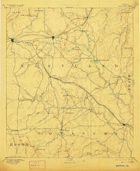
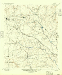
1894 Map of Eastland
USGS Topo · Published 1906About this map
The Texas and Pacific Railroad and Texas Central Railroad define the developmental corridor of this late nineteenth-century landscape, linking the burgeoning communities of Eastland and Cisco. This 1888 survey reveals a terrain defined by the Middle Fork Leon River and its numerous tributaries, where early settlements like Merriman, Desdimonia, and Sipe Springs established roots before the regional oil boom would later transform the economy.
Find a feature on this map
49 named features on this map. Tap any name to fly to it.
Don’t see what you’re looking for? This feature index may not catch every label — zoom into the map to look around manually.
Map Details
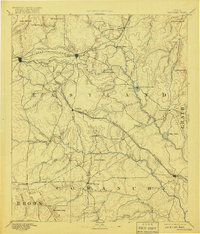
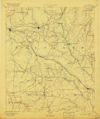
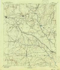
Editions of this 1894 Eastland Map
6 editions found

Other maps of this area

1887 · Coleman
USGS Topo · 1:125,000

1888 · Hamilton
USGS Topo · 1:125,000

1889 · Brownwood
USGS Topo · 1:125,000

1889 · Coleman
USGS Topo · 1:125,000

1890 · Stephenville
USGS Topo · 1:125,000

1890 · Breckenridge
USGS Topo · 1:125,000

1891 · Palo Pinto
USGS Topo · 1:125,000

1892 · Albany
USGS Topo · 1:125,000

1893 · Albany
USGS Topo · 1:125,000

1894 · Hamilton
USGS Topo · 1:125,000