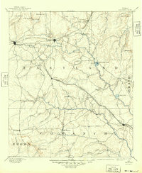
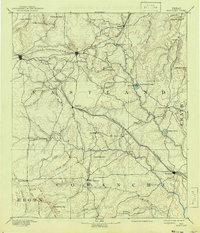
1894 Map of Eastland
USGS Topo · Published 1949About this map
The Texas and Pacific Railroad and Texas Central Railroad intersect in the northern portion of this landscape, defining the early development of Eastland and Cisco. These rail lines facilitated the growth of frontier settlements like Carbon and Ranger before the discovery of oil transformed the region. The map reveals an agrarian and ranching economy organized around the drainage of the Leon River and its numerous tributaries such as Sandy Creek and Hog Creek.
Find a feature on this map
55 named features on this map. Tap any name to fly to it.
Don’t see what you’re looking for? This feature index may not catch every label — zoom into the map to look around manually.
Map Details
Editions of this 1894 Eastland Map
6 editions found

Other maps of this area

1887 · Coleman
USGS Topo · 1:125,000

1888 · Hamilton
USGS Topo · 1:125,000

1889 · Brownwood
USGS Topo · 1:125,000

1889 · Coleman
USGS Topo · 1:125,000

1890 · Stephenville
USGS Topo · 1:125,000

1890 · Breckenridge
USGS Topo · 1:125,000

1891 · Palo Pinto
USGS Topo · 1:125,000

1892 · Albany
USGS Topo · 1:125,000

1893 · Albany
USGS Topo · 1:125,000

1894 · Hamilton
USGS Topo · 1:125,000