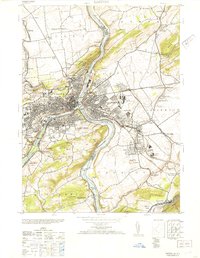
1953 Map of Easton
USGS Topo · Published 1953About this map
Easton and its cross-river neighbor Phillipsburg serve as the industrial and transportation nexus of the Lehigh Valley just after the war. This military-derived survey illustrates a complex infrastructure of river-borne trade and heavy industry, where the Morris Canal and Pennsylvania Canal parallel the banks of the Delaware River and Lehigh River. The map reveals the extensive footprint of the Ingersoll Rand Co and the Vulcanite Cement Co, alongside the dense rail networks of the Lehigh Valley and Central Railroad of New Jersey. Beyond the urban centers, the landscape rises toward Chestnut Hill and Marble Mountain, dotted with local landmarks like Lafayette College and various rural institutions such as the Chief Tatamy School and Calvary Church, reflecting a region balancing civic life with massive quarrying and manufacturing operations.
Find a feature on this map
78 named features on this map. Tap any name to fly to it.
Don’t see what you’re looking for? This feature index may not catch every label — zoom into the map to look around manually.
Map Details
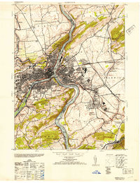
Editions of this 1953 Easton Map
2 editions found
Other maps of this area

1890 · Easton
USGS Topo · 1:62,500

1891 · Easton
USGS Topo · 1:62,500

1891 · Delaware Water Gap
USGS Topo · 1:62,500

1893 · Delaware Water Gap
USGS Topo · 1:62,500

1894 · Allentown
USGS Topo · 1:62,500

1914 · Wind Gap
USGS Topo · 1:62,500

1916 · Wind Gap
USGS Topo · 1:62,500

1932 · Easton
USGS Topo · 1:62,500

1936 · Delaware Water Gap
USGS Topo · 1:48,000

1939 · Allentown
USGS Topo · 1:62,500