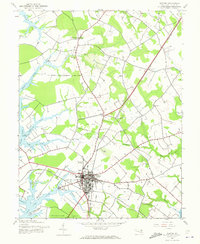
1942 Map of Easton
USGS Topo · Published 1973About this map
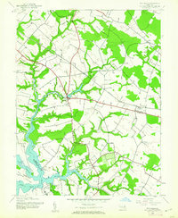
Easton serves as the focal point of this 1942 Maryland survey, appearing as a developed inland hub defined by a dense grid of streets and two major rail lines. The Pennsylvania and Baltimore and Eastern railroads intersect here, facilitating commerce between the town and the agricultural hinterlands of the Delmarva Peninsula. To the west, the landscape is heavily etched by the tidal fingers of the Miles River and the Tred Avon River, where the waterfront properties of The Anchorage and Glebe reflect the region's historic maritime orientation.
Find a feature on this map
34 named features on this map. Tap any name to fly to it.
Don’t see what you’re looking for? This feature index may not catch every label — zoom into the map to look around manually.
Map Details
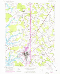
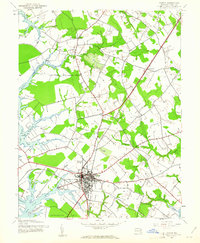
Editions of this 1942 Easton Map
3 editions found
Other maps of this area

1898 · Choptank
USGS Topo · 1:125,000

1904 · St. Michaels
USGS Topo · 1:62,500

1904 · Oxford
USGS Topo · 1:62,500

1905 · Denton
USGS Topo · 1:62,500

1905 · Hurlock
USGS Topo · 1:62,500

1908 · Choptank
USGS Topo · 1:125,000

1942 · Oxford
USGS Topo · 1:31,680
1942 · Queenstown
USGS Topo · 1:24,000
1942 · Easton
USGS Topo · 1:24,000
1942 · Wye Mills
USGS Topo · 1:24,000