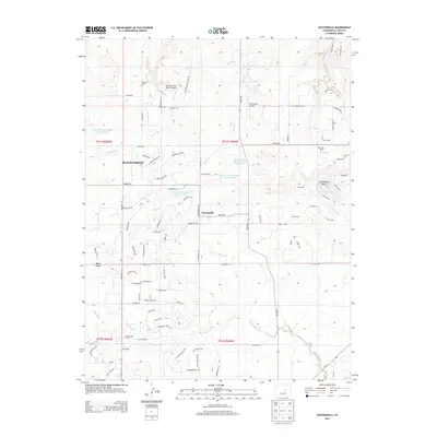
2013 Map of Eastonville
USGS Topo · Published 2013About this map
Eastonville sits at the heart of this high-plains landscape, where the headwaters of several significant drainages diverge. The map documents a transition from ranching heritage to modern rural development, with large properties like Ayer Ranch and Pine Park Ranch coexisting alongside residential loops. Traces of pioneer migration and early transit are preserved through the naming of the Oregon Wagon Trl and Cherokee Trail, which cut across the terrain.
Find a feature on this map
97 named features on this map. Tap any name to fly to it.
Don’t see what you’re looking for? This feature index may not catch every label — zoom into the map to look around manually.
Map Details
Editions of this 2013 Eastonville Map
This is the sole edition of this map. No revisions or reprints were ever made.
Other maps of this area
1893 · Big Springs
USGS Topo · 1:125,000
1893 · Colorado Springs
USGS Topo · 1:125,000
1894 · Castle Rock
USGS Topo · 1:125,000
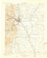
1909 · Colorado Springs
USGS Topo · 1:125,000
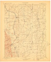
1913 · Castle Rock
USGS Topo · 1:125,000
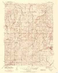
1940 · Elbert
USGS Topo · 1:62,500
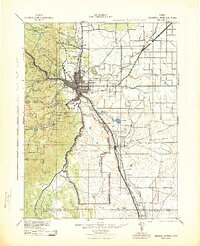
1942 · Colorado Springs
USGS Topo · 1:125,000
1944 · Elbert
USGS Topo · 1:62,500
1948 · Falcon
USGS Topo · 1:24,000
1948 · Falcon
USGS Topo · 1:62,500