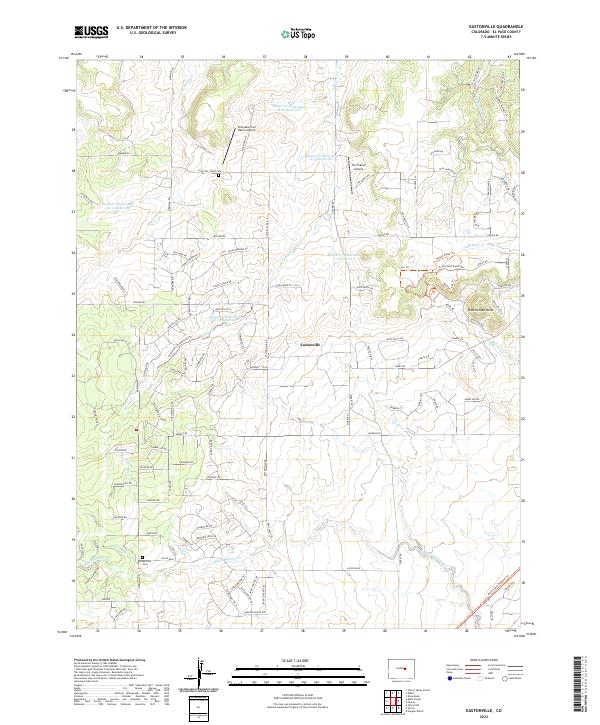
2022 Map of Eastonville
USGS Topo · Published 2022About this map
Eastonville sits at the heart of this high-plains landscape in El Paso County, reflecting a history defined by the watershed divides of the Palmer Divide. The geography is characterized by numerous small drainage systems, including Black Squirrel Cr and Kiowa Cr, which are managed by a series of regional water control structures like the Kiowa Cr Watershed K-79 Reservoir. This network of seasonal creeks and modern ranching infrastructure highlights the area's transition from early territorial ranching to modern rural living.
Find a feature on this map
122 named features on this map. Tap any name to fly to it.
Don’t see what you’re looking for? This feature index may not catch every label — zoom into the map to look around manually.
Map Details
Editions of this 2022 Eastonville Map
This is the sole edition of this map. No revisions or reprints were ever made.
Other maps of this area

1893 · Big Springs
USGS Topo · 1:125,000

1893 · Colorado Springs
USGS Topo · 1:125,000

1894 · Castle Rock
USGS Topo · 1:125,000

1909 · Colorado Springs
USGS Topo · 1:125,000

1913 · Castle Rock
USGS Topo · 1:125,000

1940 · Elbert
USGS Topo · 1:62,500

1942 · Colorado Springs
USGS Topo · 1:125,000

1944 · Elbert
USGS Topo · 1:62,500

1948 · Falcon
USGS Topo · 1:24,000

1948 · Falcon
USGS Topo · 1:62,500