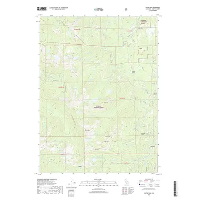
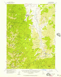
2018 Map of Eaton Peak
USGS Topo · Published 2018About this map
Klamath National Forest dominates this high-altitude landscape in the Salmon Mountains, where the Pacific Crest National Scenic Trail winds through a dense network of glacial basins and alpine summits. The settlement of Foster sits in the southern portion of the quadrangle, serving as a gateway to a terrain defined by dramatic peaks like Russian Peak, Eaton Peak, and Grizzly Peak. This 2018 survey reveals a wilderness geography of over twenty named water bodies, including Meeks Meadow Lake, Big Blue Lake, and the Horse Range Lakes, which feed a system of descending drainages such as S Russian Cr and French Cr. Local nomenclature reflects the area's history of land use, with features such as Osterried Gulch, Camp Gulch, and Paradise Hollow indicating early activity in the canyons. The map tracks the connectivity between these high basins via forestry routes like Miners Creek Rd and the French-Jackson trail.
Find a feature on this map
66 named features on this map. Tap any name to fly to it.
Don’t see what you’re looking for? This feature index may not catch every label — zoom into the map to look around manually.
Map Details
Editions of this 2018 Eaton Peak Map
This is the sole edition of this map. No revisions or reprints were ever made.
Other maps of this area
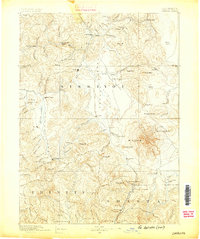
1886 · Shasta
USGS Topo · 1:250,000
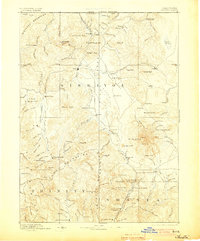
1894 · Shasta
USGS Topo · 1:250,000
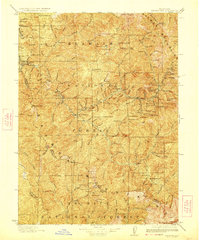
1923 · Sawyers Bar
USGS Topo · 1:125,000
1931 · Etna
USGS Topo · 1:96,000
1934 · Etna
USGS Topo · 1:125,000

1948 · Weed
USGS Topo · 1:250,000

1950 · Weed
USGS Topo · 1:250,000
1955 · Cecilville
USGS Topo · 1:62,500
1955 · Sawyers Bar
USGS Topo · 1:62,500
1955 · Etna
USGS Topo · 1:62,500