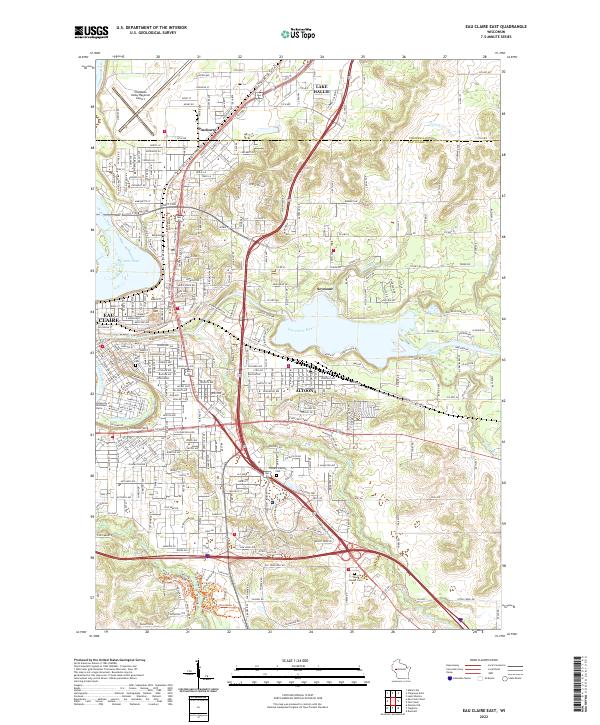
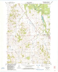
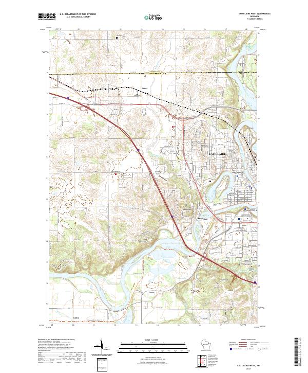
2022 Map of Eau Claire East
USGS Topo · Published 2022About this map
The confluence of the Chippewa River and the Eau Claire River defines this urban and suburban landscape, anchoring the eastern growth of Eau Claire and the neighboring city of Altoona. The terrain is shaped by the transition from river bottoms to the heights of Mt Tom, with extensive modern development spreading toward Seymour and Pinehurst. Genealogists and local researchers can locate several significant burial grounds, including Forest Hill Cem, Calvary Catholic Cem, and Rest Haven Cem further south. The map documents a diverse infrastructure, from the sprawling campus of the University of Wisconsin-Eau Claire and the commercial hub at Oakwood Mall to the Chippewa Valley Regional Airport in the north. Recreational and transit corridors are well-represented, featuring the Chippewa River State Trl and various local paths like the Holy Roller Trl.
Find a feature on this map
128 named features on this map. Tap any name to fly to it.
Don’t see what you’re looking for? This feature index may not catch every label — zoom into the map to look around manually.
Map Details
Editions of this 2022 Eau Claire East Map
This is the sole edition of this map. No revisions or reprints were ever made.
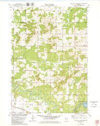
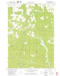
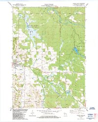
Historical Maps of Altoona Through Time
22 maps found
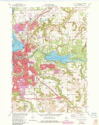
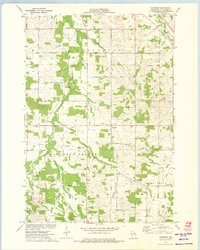
1972 Eau Claire East
Eau Claire County, WI
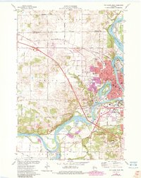
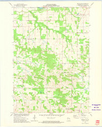
1972 Eau Claire West
Eau Claire County, WI
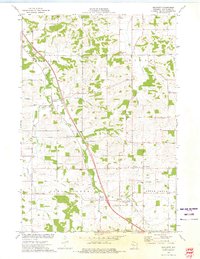
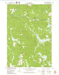
1973 Brackett
Eau Claire County, WI
1973 Cleghorn
Eau Claire County, WI
1973 Mondovi NE
Eau Claire County, WI
1979 Horse Creek
Eau Claire County, WI
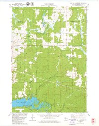
1979 Lake Eau Claire East
Eau Claire County, WI
1979 Lake Eau Claire West
Eau Claire County, WI
1979 Simes Creek
Eau Claire County, WI
1984 Augusta East
Eau Claire County, WI
1984 Augusta West
Eau Claire County, WI
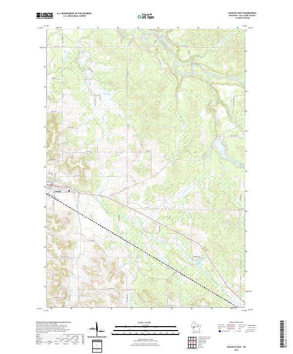
2022 Augusta East
Eau Claire County, WI
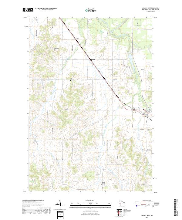
2022 Augusta West
Eau Claire County, WI
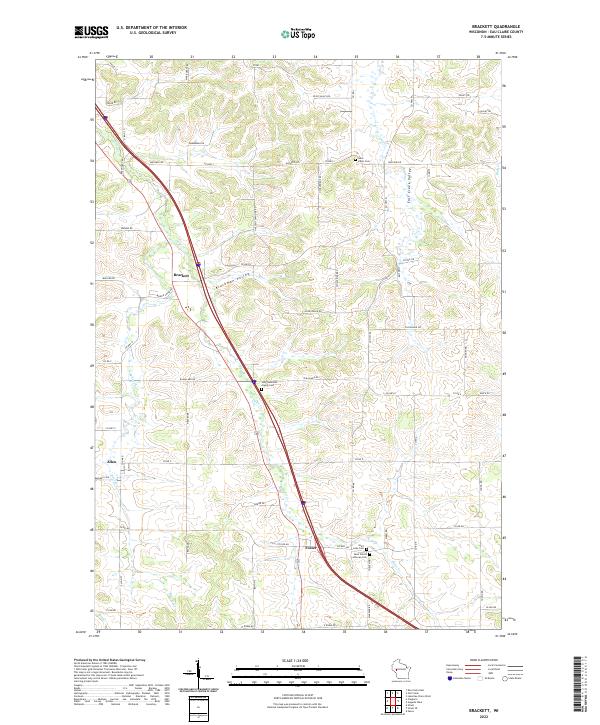
2022 Brackett
Eau Claire County, WI
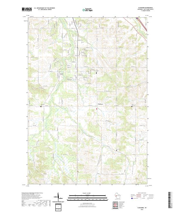
2022 Cleghorn
Eau Claire County, WI
2022 Eau Claire East
Eau Claire County, WI
2022 Eau Claire West
Eau Claire County, WI
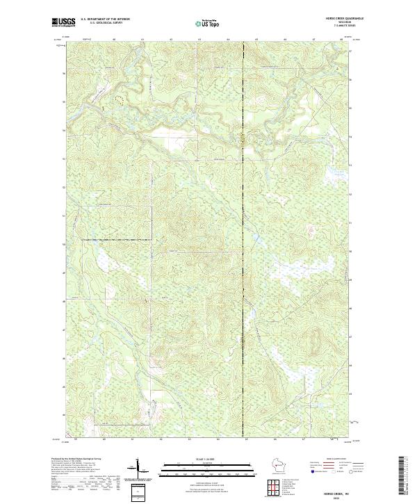
2022 Horse Creek
Eau Claire County, WI
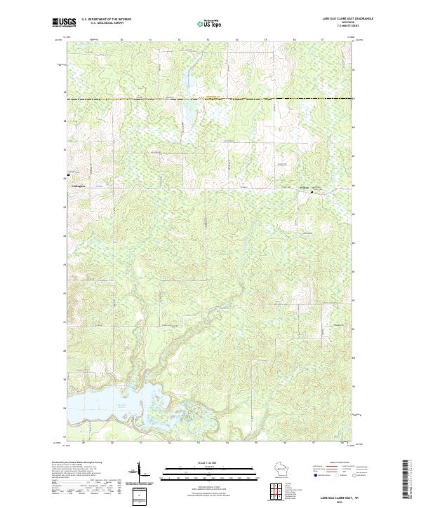
2022 Lake Eau Claire East
Eau Claire County, WI
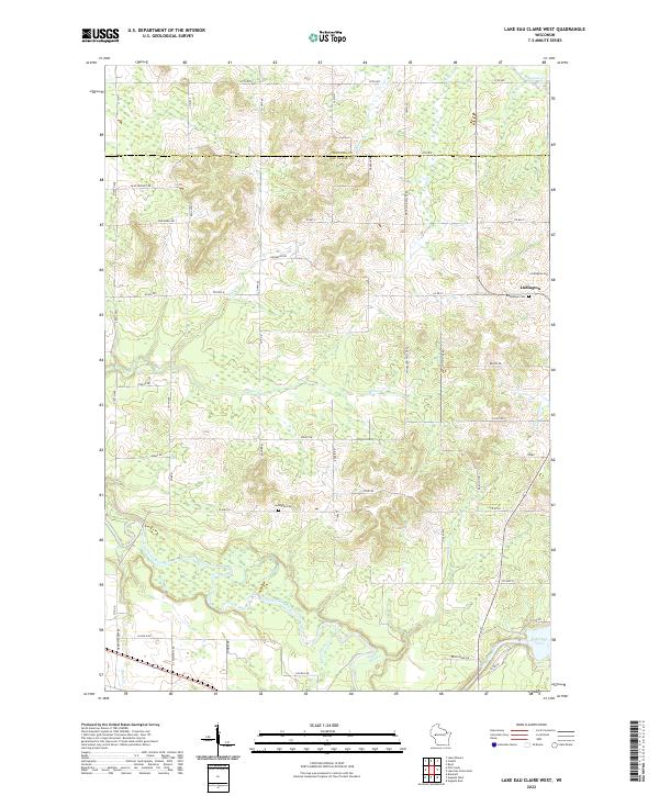
2022 Lake Eau Claire West
Eau Claire County, WI
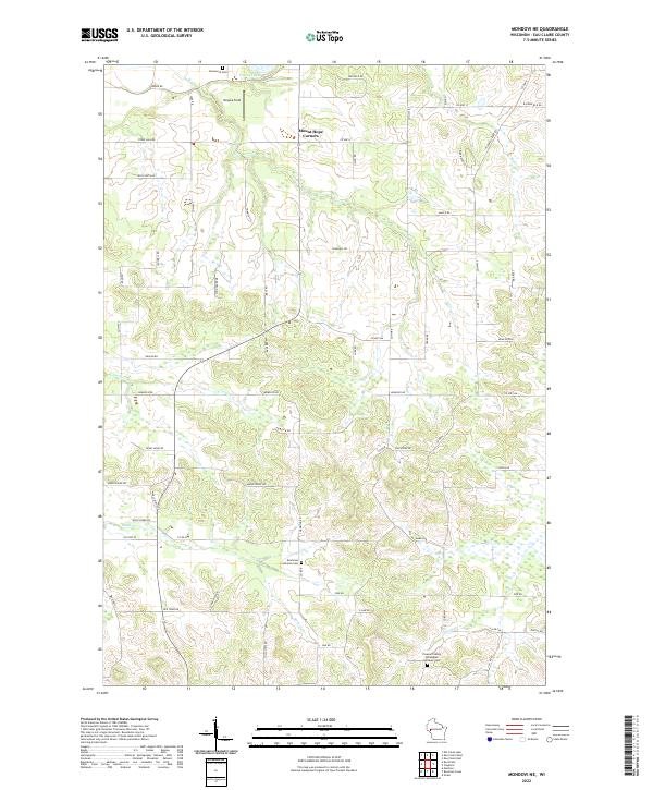
2022 Mondovi NE
Eau Claire County, WI
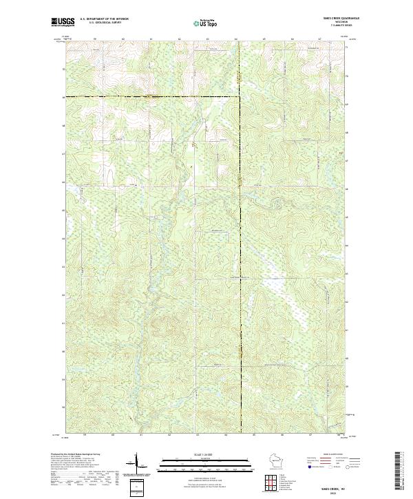
2022 Simes Creek
Eau Claire County, WI