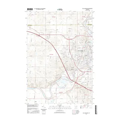
2015 Map of Eau Claire West
USGS Topo · Published 2015About this map
The Chippewa River carves a dominant path through this landscape, defining the western expansion of Eau Claire and the surrounding valley. In this mid-2010s survey, the river's horseshoe bend creates the prominent Half Moon Lake, a distinct oxbow that serves as a focal point for the city’s geography, complete with Half Moon Beach. The area is a hub for higher education, showing the campuses of the University of Wisconsin-Eau Claire and the Chippewa Valley Technical College near the riverbanks.
Find a feature on this map
141 named features on this map. Tap any name to fly to it.
Don’t see what you’re looking for? This feature index may not catch every label — zoom into the map to look around manually.
Map Details
Editions of this 2015 Eau Claire West Map
This is the sole edition of this map. No revisions or reprints were ever made.
Other maps of this area

1927 · Strum
USGS Topo · 1:62,500

1930 · Strum
USGS Topo · 1:62,500

1932 · Mondovi
USGS Topo · 1:62,500

1934 · Elk Mound
USGS Topo · 1:62,500

1934 · Chippewa Falls
USGS Topo · 1:62,500

1936 · Chippewa Falls
USGS Topo · 1:62,500

1936 · Elk Mound
USGS Topo · 1:62,500

1953 · Eau Claire
USGS Topo · 1:250,000

1958 · Eau Claire
USGS Topo · 1:250,000

1964 · Eau Claire
USGS Topo · 1:250,000