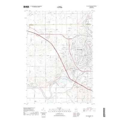
2018 Map of Eau Claire West
USGS Topo · Published 2018About this map
The Chippewa River carves a deep path through the heart of the west side of Eau Claire, where the industrial and residential development of the city meets the more rural reaches of the county line. This survey shows the urban transition from the established neighborhood of Shawtown to the newer reaches near Mt Washington. The river's influence is clear in the local geography, forming Dells Pond to the north and the distinctive oxbow of Half Moon Beach.
Find a feature on this map
88 named features on this map. Tap any name to fly to it.
Don’t see what you’re looking for? This feature index may not catch every label — zoom into the map to look around manually.
Map Details
Editions of this 2018 Eau Claire West Map
This is the sole edition of this map. No revisions or reprints were ever made.
Other maps of this area

1927 · Strum
USGS Topo · 1:62,500

1930 · Strum
USGS Topo · 1:62,500

1932 · Mondovi
USGS Topo · 1:62,500

1934 · Elk Mound
USGS Topo · 1:62,500

1934 · Chippewa Falls
USGS Topo · 1:62,500

1936 · Chippewa Falls
USGS Topo · 1:62,500

1936 · Elk Mound
USGS Topo · 1:62,500

1953 · Eau Claire
USGS Topo · 1:250,000

1958 · Eau Claire
USGS Topo · 1:250,000

1964 · Eau Claire
USGS Topo · 1:250,000