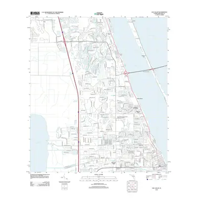
2012 Map of Eau Gallie
USGS Topo · Published 2012About this map
The Indian River and Banana River dominate this coastal landscape, shaping the residential and recreational development of Brevard County in the early 2010s. The map illustrates a dense network of suburban expansion stretching from the Eau Gallie waterfront up through Palm Shores and the newer planned communities of Viera. This growth is anchored by significant institutional and recreational landmarks, including the Brevard Community College - Melbourne Campus and the fairways of Pines Golf Course.
Find a feature on this map
190 named features on this map. Tap any name to fly to it.
Don’t see what you’re looking for? This feature index may not catch every label — zoom into the map to look around manually.
Map Details
Editions of this 2012 Eau Gallie Map
This is the sole edition of this map. No revisions or reprints were ever made.
Other maps of this area

1949 · Melbourne West
USGS Topo · 1:24,000

1949 · Melbourne East
USGS Topo · 1:24,000

1949 · Eau Gallie
USGS Topo · 1:24,000

1949 · Cocoa
USGS Topo · 1:24,000

1949 · Cocoa Beach
USGS Topo · 1:24,000

1949 · Tropic
USGS Topo · 1:24,000

1951 · Melbourne East
USGS Topo · 1:24,000

1951 · Eau Gallie
USGS Topo · 1:24,000

1951 · Cocoa
USGS Topo · 1:24,000

1951 · Melbourne West
USGS Topo · 1:24,000