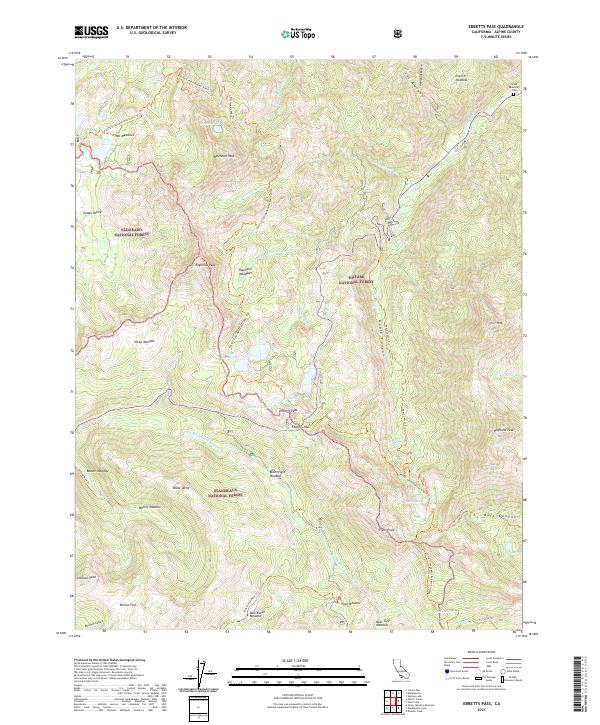
2021 Map of Ebbetts Pass
USGS Topo · Published 2021About this map
Eldorado National Forest, Toiyabe National Forest, and Stanislaus National Forest converge at this high-altitude point of the Sierra Nevada, centered on the crossing at Ebbetts Pass. The landscape is defined by massive granite features like Raymond Peak, Black Dome, and Highland Peak, interspersed with alpine basins such as English Meadow and Milk Ranch Meadow. This 2021 survey shows a complex network of back-country routes including the Pacific Crest National Scenic Trl and the Noble Canyon Trl.
Find a feature on this map
58 named features on this map. Tap any name to fly to it.
Don’t see what you’re looking for? This feature index may not catch every label — zoom into the map to look around manually.
Map Details
Editions of this 2021 Ebbetts Pass Map
This is the sole edition of this map. No revisions or reprints were ever made.
Other maps of this area

1889 · Markleeville
USGS Topo · 1:125,000

1891 · Markleeville
USGS Topo · 1:125,000

1893 · Markleeville
USGS Topo · 1:125,000

1896 · Dardanelles
USGS Topo · 1:125,000

1898 · Dardanelles
USGS Topo · 1:125,000

1948 · Walker Lake
USGS Topo · 1:250,000

1956 · Topaz Lake
USGS Topo · 1:62,500

1956 · Markleeville
USGS Topo · 1:62,500

1956 · Dardanelles Cone
USGS Topo · 1:62,500

1956 · Sonora Pass
USGS Topo · 1:62,500