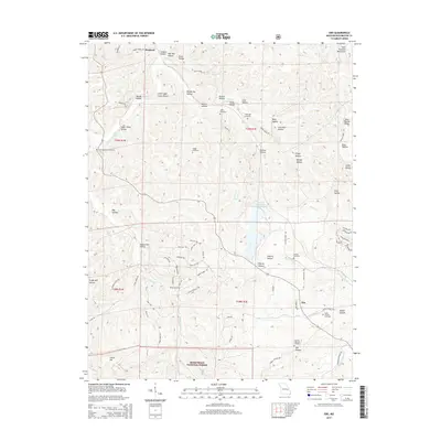
2015 Map of Ebo
USGS Topo · Published 2015About this map
Ebo sits at a crossroads in the eastern Missouri highlands, surrounded by a dense network of valleys and ridges within the Mark Twain National Forest. The landscape is defined by its numerous named hollows, such as Little Sugar Camp Hollow and Joshua Hill Hollow, which drain into the winding paths of Indian Cr and Fourche a Renault. This topography reveals a pattern of secluded upland settlements and family-named landmarks that are characteristic of the Saint Francois Mountains region.
Find a feature on this map
126 named features on this map. Tap any name to fly to it.
Don’t see what you’re looking for? This feature index may not catch every label — zoom into the map to look around manually.
Map Details
Editions of this 2015 Ebo Map
This is the sole edition of this map. No revisions or reprints were ever made.
Other maps of this area

1901 · De Soto
USGS Topo · 1:125,000

1903 · Sullivan
USGS Topo · 1:125,000

1906 · Potosi
USGS Topo · 1:62,500

1934 · Meramec State Park
USGS Topo · 1:24,000

1937 · Meramec State Park
USGS Topo · 1:24,000

1943 · Berryman
USGS Topo · 1:62,500

1945 · Berryman
USGS Topo · 1:62,500

1946 · Richwoods
USGS Topo · 1:62,500

1947 · Sullivan
USGS Topo · 1:62,500

1948 · Richwoods
USGS Topo · 1:62,500