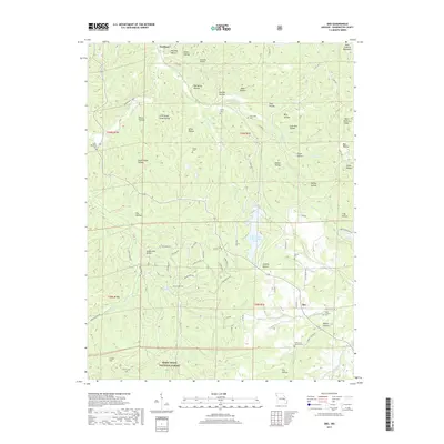
2017 Map of Ebo
USGS Topo · Published 2017About this map
Ebo and the surrounding Washington County landscape are defined by the dense woodlands of the Mark Twain National Forest. The region's topography is visible in the network of valleys, including Valle Hollow and Bessie Hollow, tucked between elevations like Litton Hill. Genealogists will find a wealth of specific local data, as the map identifies numerous burial grounds such as Griggs Cem, Smith Cem, and Fourche a Renault Cem. The industrial legacy of the area is visible at the Indian Creek Mine Tailings Pond, which sits near the flow of Indian Cr. Smaller settlements like Northeut are linked by a web of local roads, such as State HWY T and Lick Skillet RD, showing the connectivity within these hills. The drainage of Goose Cr and Pinery Cr further illustrates the complex watershed found within the Saint Francois Mountains.
Find a feature on this map
83 named features on this map. Tap any name to fly to it.
Don’t see what you’re looking for? This feature index may not catch every label — zoom into the map to look around manually.
Map Details
Editions of this 2017 Ebo Map
This is the sole edition of this map. No revisions or reprints were ever made.
Other maps of this area
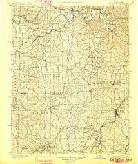
1901 · De Soto
USGS Topo · 1:125,000
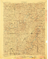
1903 · Sullivan
USGS Topo · 1:125,000
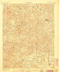
1906 · Potosi
USGS Topo · 1:62,500
1934 · Meramec State Park
USGS Topo · 1:24,000
1937 · Meramec State Park
USGS Topo · 1:24,000
1943 · Berryman
USGS Topo · 1:62,500
1945 · Berryman
USGS Topo · 1:62,500
1946 · Richwoods
USGS Topo · 1:62,500
1947 · Sullivan
USGS Topo · 1:62,500
1948 · Richwoods
USGS Topo · 1:62,500