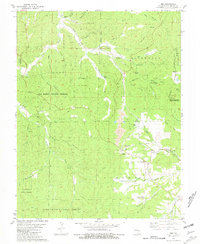
1981 Map of Ebo
USGS Topo · Published 1981About this map
The Missouri Ozarks are captured here at the start of the 1980s, revealing a landscape defined by natural springs and the legacy of lead mining in Richwoods and Liberty townships. The Indian Creek Mine is the most prominent industrial landmark, complete with its Tailings and Mine Dump adjacent to the Missouri Pacific rail line. Scattered rural settlements like Ebo and Troutt anchor the local geography, alongside smaller landmarks such as the Fish Hatchery on Watson Creek.
Find a feature on this map
61 named features on this map. Tap any name to fly to it.
Don’t see what you’re looking for? This feature index may not catch every label — zoom into the map to look around manually.
Map Details
Editions of this 1981 Ebo Map
This is the sole edition of this map. No revisions or reprints were ever made.
Other maps of this area

1901 · De Soto
USGS Topo · 1:125,000

1903 · Sullivan
USGS Topo · 1:125,000

1906 · Potosi
USGS Topo · 1:62,500

1934 · Meramec State Park
USGS Topo · 1:24,000

1937 · Meramec State Park
USGS Topo · 1:24,000

1943 · Berryman
USGS Topo · 1:62,500

1945 · Berryman
USGS Topo · 1:62,500

1946 · Richwoods
USGS Topo · 1:62,500

1947 · Sullivan
USGS Topo · 1:62,500

1948 · Richwoods
USGS Topo · 1:62,500