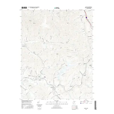
2016 Map of Eccles
USGS Topo · Published 2016About this map
Stephens Lake sits at the center of this Raleigh County landscape, where the waters of Stephens Br and Dingess Br converge. The topography is defined by significant ridges like Coal River Mtn and Spruce Mtn, which separate the various forks and creeks that drain the region. Settlements are scattered throughout the valleys and along the winding roads, including the larger communities of Glen Daniel and Eccles, as well as smaller locales such as Sweeneyburg and Surveyor.
Find a feature on this map
115 named features on this map. Tap any name to fly to it.
Don’t see what you’re looking for? This feature index may not catch every label — zoom into the map to look around manually.
Map Details
Editions of this 2016 Eccles Map
This is the sole edition of this map. No revisions or reprints were ever made.
Other maps of this area
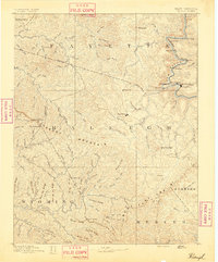
1891 · Raleigh
USGS Topo · 1:125,000
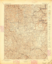
1897 · Raleigh
USGS Topo · 1:125,000
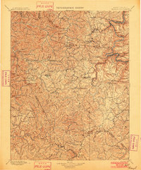
1902 · Raleigh
USGS Topo · 1:125,000
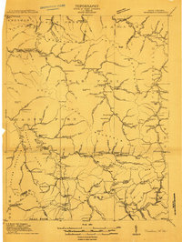
1911 · Marshes
USGS Topo · 1:48,000
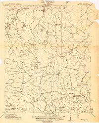
1911 · Flattop
USGS Topo · 1:48,000
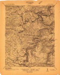
1911 · Beckley
USGS Topo · 1:48,000
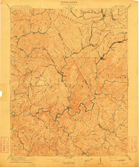
1912 · Mullens
USGS Topo · 1:62,500
1913 · Beckley
USGS Topo · 1:62,500
1914 · Eccles
USGS Topo · 1:62,500
1914 · Flattop
USGS Topo · 1:62,500