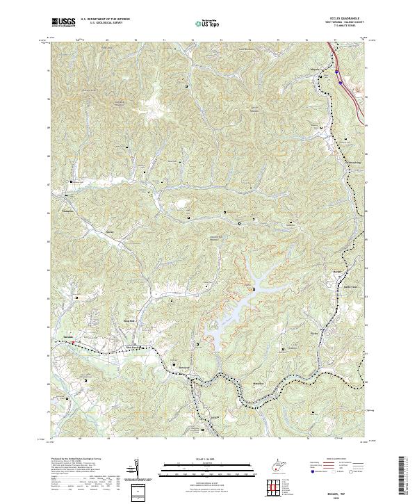
2023 Map of Eccles
USGS Topo · Published 2023About this map
Coal River Mountain and Spruce Mountain define the high terrain of this Raleigh County region, where steep ridges separate the numerous branches of the Marsh Fork and Sandlick Creek. The landscape is a dense network of small family-named cemeteries such as the Davis - Bailey Homestead Cem and McDonald Cem, which offer significant value for genealogists tracing the legacy of rural Appalachia.
Find a feature on this map
130 named features on this map. Tap any name to fly to it.
Don’t see what you’re looking for? This feature index may not catch every label — zoom into the map to look around manually.
Map Details
Editions of this 2023 Eccles Map
This is the sole edition of this map. No revisions or reprints were ever made.
Other maps of this area

1891 · Raleigh
USGS Topo · 1:125,000

1897 · Raleigh
USGS Topo · 1:125,000

1902 · Raleigh
USGS Topo · 1:125,000

1911 · Marshes
USGS Topo · 1:48,000

1911 · Flattop
USGS Topo · 1:48,000

1911 · Beckley
USGS Topo · 1:48,000

1912 · Mullens
USGS Topo · 1:62,500

1913 · Beckley
USGS Topo · 1:62,500

1914 · Eccles
USGS Topo · 1:62,500

1914 · Flattop
USGS Topo · 1:62,500