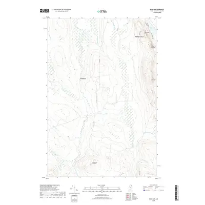
2018 Map of Echo Lake
USGS Topo · Published 2018About this map
Presque Isle Stream meanders through a landscape defined by significant elevation changes and numerous hydrological features just south of the city center. The eastern portion of the quadrangle is dominated by a chain of peaks including North Peak, Quaggy Joe South Peak, and Green Mtn, which overlook the recreational waters of Echo Lake. This area of Aroostook County shows a distinct pattern where agricultural or open land in the central valley, near the settlement of Grindstone, is framed by these high ridges and dense drainage networks.
Find a feature on this map
27 named features on this map. Tap any name to fly to it.
Don’t see what you’re looking for? This feature index may not catch every label — zoom into the map to look around manually.
Map Details
Editions of this 2018 Echo Lake Map
This is the sole edition of this map. No revisions or reprints were ever made.
Other maps of this area

1934 · Bridgewater
USGS Topo · 1:48,000

1935 · Howe Brook
USGS Topo · 1:48,000

1935 · Presque Isle
USGS Topo · 1:62,500

1936 · Mars Hill
USGS Topo · 1:48,000

1938 · Bridgewater
USGS Topo · 1:62,500

1939 · Howe Brook
USGS Topo · 1:62,500

1940 · Mars Hill
USGS Topo · 1:62,500

1951 · Mars Hill
USGS Topo · 1:62,500

1951 · Bridgewater
USGS Topo · 1:62,500

1953 · Bridgewater
USGS Topo · 1:50,000