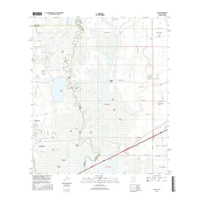
2016 Map of Echo
USGS Topo · Published 2016About this map
The Sabine River serves as the primary artery through this low-lying borderland between Texas and Louisiana, carving a complex network of bayous, sloughs, and oxbows. The river's winding course creates distinct landforms such as Blue Elbow, Jackson Cutoff, and the broad Big Eddy, defining the boundary between Orange Co and Calcasieu Parish. On the eastern banks, the settlement of Niblett Bluff sits amidst a landscape of ridges including Beef Ridge and Pine Ridge, while the community of Toomey anchors the southeastern corner of the map.
Find a feature on this map
109 named features on this map. Tap any name to fly to it.
Don’t see what you’re looking for? This feature index may not catch every label — zoom into the map to look around manually.
Map Details
Editions of this 2016 Echo Map
This is the sole edition of this map. No revisions or reprints were ever made.
Other maps of this area

1926 · Mauriceville
USGS Topo · 1:24,000

1932 · Orange
USGS Topo · 1:62,500

1943 · Orangefield
USGS Topo · 1:24,000

1943 · Mauriceville
USGS Topo · 1:24,000

1946 · Phoenix Lake
USGS Topo · 1:31,680

1947 · Starks
USGS Topo · 1:31,680

1947 · Vinton
USGS Topo · 1:31,680

1947 · Toomey
USGS Topo · 1:31,680

1947 · Lunita
USGS Topo · 1:31,680
1949 · Cameron Farms
USGS Topo · 1:31,680