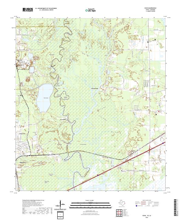
2022 Map of Echo
USGS Topo · Published 2022About this map
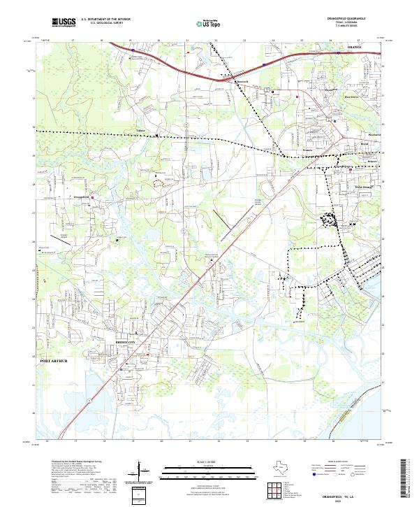
Orange and the surrounding borderlands of the Sabine River are defined by a complex network of waterways and ridges along the Texas and Louisiana line. The settlement of Echo sits near the river's edge, surrounded by family-named landmarks and several cemeteries, including the Ida Wilson Cem and Dougharty Cem. The landscape is a maze of bayous and islands, where Grubs Island, Teal Island, and Jacks Island are separated by features like Holden Slough and Cooper Bayou.
Find a feature on this map
111 named features on this map. Tap any name to fly to it.
Don’t see what you’re looking for? This feature index may not catch every label — zoom into the map to look around manually.
Map Details
Editions of this 2022 Echo Map
This is the sole edition of this map. No revisions or reprints were ever made.
Historical Maps of Niblett Bluff Through Time
20 maps found

1926 Lakeview
Orange County, TX

1926 Terry
Orange County, TX

1926 Texla
Orange County, TX
1943 Orangefield
Orange County, TX
1943 Terry
Orange County, TX

1943 Texla
Orange County, TX

1943 West of Greens Bayou
Orange County, TX
1957 Orangefield
Orange County, TX
1957 Orangefield
Orange County, TX
1957 Terry
Orange County, TX
1957 Texla
Orange County, TX
1957 West of Greens Bayou
Orange County, TX
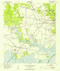
1960 Echo
Orange County, TX
1993 West of Greens Bayou
Orange County, TX
1994 Echo
Orange County, TX
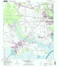
2022 Echo
Orange County, TX
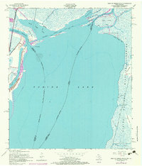
2022 Orangefield
Orange County, TX
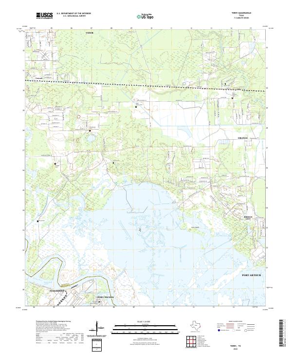
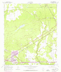
2022 Terry
Orange County, TX
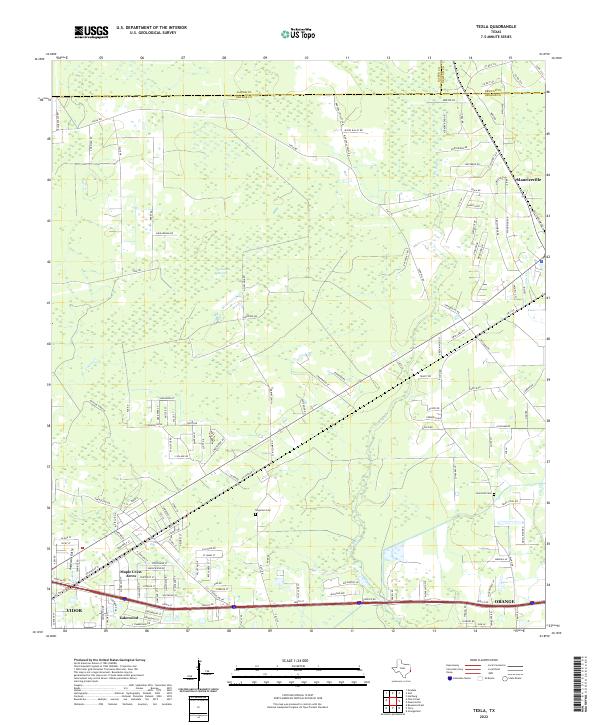
2022 Texla
Orange County, TX
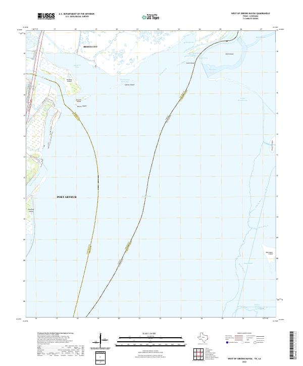
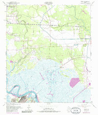
2022 West of Greens Bayou
Orange County, TX