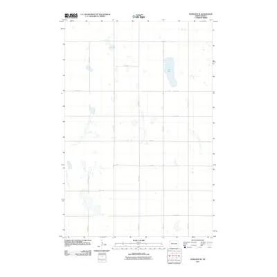
2011 Map of Eckelson SE
USGS Topo · Published 2011About this map
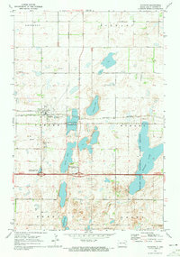
Kee Lake serves as the central hydrographic feature of this section of North Dakota prairie, which is defined by a rhythmic grid of rural township roads. The landscape is dotted with numerous small, unnamed wetlands and potholes, a characteristic trait of the regional geography in Barnes County. This 2011 edition shows the area in its modern agricultural configuration, where primary north-south arteries like 102nd Ave SE and 100th Ave SE intersect with east-west section line roads such as 43rd St SE and 38th St SE. The lack of named settlements reflects the sparse, high-plains character of the territory, where land use is dominated by large-scale farming and the natural depressions of the glacial till plain.
Find a feature on this map
14 named features on this map. Tap any name to fly to it.
Don’t see what you’re looking for? This feature index may not catch every label — zoom into the map to look around manually.
Map Details
Editions of this 2011 Eckelson SE Map
This is the sole edition of this map. No revisions or reprints were ever made.
Other maps of this area

1897 · Eckelson
USGS Topo · 1:125,000

1953 · Jamestown
USGS Topo · 1:250,000

1956 · Jamestown
USGS Topo · 1:250,000

1970 · Litchville
USGS Topo · 1:24,000

1970 · Eckelson
USGS Topo · 1:24,000
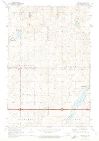
1970 · Spiritwood
USGS Topo · 1:24,000
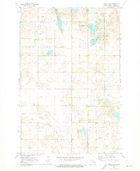
1970 · Moon Lake
USGS Topo · 1:24,000

1970 · Marion NE
USGS Topo · 1:24,000
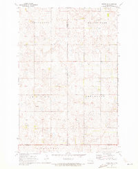
1970 · Marion NW
USGS Topo · 1:24,000
1970 · Sanborn
USGS Topo · 1:24,000