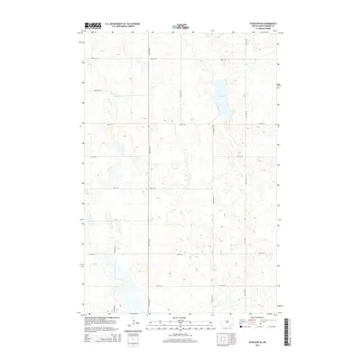
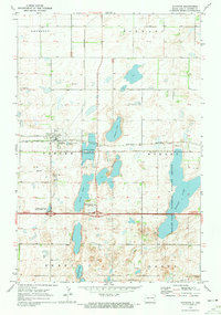
2014 Map of Eckelson SE
USGS Topo · Published 2014About this map
Kee Lake serves as the central focal point of this Barnes County landscape, surrounded by the characteristic prairie potholes and depressions of North Dakota's glacial till plains. The region is organized by a precise grid of sectional roads, reflecting the enduring legacy of the Public Land Survey System. Primary north-south travel is facilitated by Co Highway 7 and a series of numbered avenues including 100th Ave SE and 104th Ave SE. This 2014 survey documents the area's agricultural geometry, where East-west routes such as 38th St SE and 45th St SE divide the terrain into systematic blocks. The map provides a clear look at the water-to-land ratio in this part of the state, where seasonal wetlands and smaller basins dot the fields between the established gravel and paved thoroughfares.
Find a feature on this map
14 named features on this map. Tap any name to fly to it.
Don’t see what you’re looking for? This feature index may not catch every label — zoom into the map to look around manually.
Map Details
Editions of this 2014 Eckelson SE Map
This is the sole edition of this map. No revisions or reprints were ever made.
Other maps of this area
1897 · Eckelson
USGS Topo · 1:125,000

1953 · Jamestown
USGS Topo · 1:250,000

1956 · Jamestown
USGS Topo · 1:250,000
1970 · Litchville
USGS Topo · 1:24,000
1970 · Eckelson
USGS Topo · 1:24,000
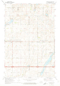
1970 · Spiritwood
USGS Topo · 1:24,000
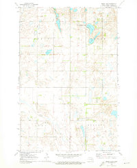
1970 · Moon Lake
USGS Topo · 1:24,000
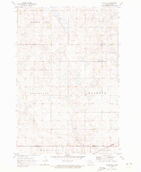
1970 · Marion NE
USGS Topo · 1:24,000
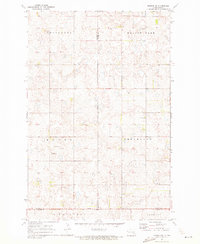
1970 · Marion NW
USGS Topo · 1:24,000
1970 · Sanborn
USGS Topo · 1:24,000