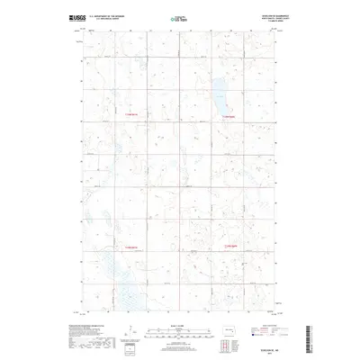
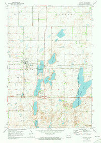
2017 Map of Eckelson SE
USGS Topo · Published 2017About this map
The prairie landscape of t139n r60w and surrounding townships in Barnes County is defined by a dense network of glacial wetlands and potholes. At the heart of this terrain lies Kee Lake, a significant water body situated among the undulating contours of the North Dakota plains. The survey illustrates a highly structured section-line road system, including Co Hwy 7 and various rural routes such as 100th Ave SE and 45th St SE, which grid the agricultural land. This pattern of land use is punctuated by small, localized landmarks like the Elim Cem, providing a point of interest for genealogists and local historians tracing the early rural families of the Eckelson area. The map reveals the intricate drainage and wetland patterns common to this region before modern land-use changes.
Find a feature on this map
18 named features on this map. Tap any name to fly to it.
Don’t see what you’re looking for? This feature index may not catch every label — zoom into the map to look around manually.
Map Details
Editions of this 2017 Eckelson SE Map
This is the sole edition of this map. No revisions or reprints were ever made.
Other maps of this area
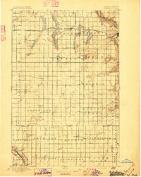
1897 · Eckelson
USGS Topo · 1:125,000

1953 · Jamestown
USGS Topo · 1:250,000

1956 · Jamestown
USGS Topo · 1:250,000
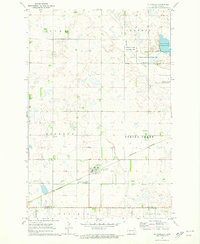
1970 · Litchville
USGS Topo · 1:24,000
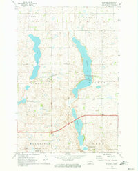
1970 · Eckelson
USGS Topo · 1:24,000
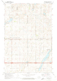
1970 · Spiritwood
USGS Topo · 1:24,000
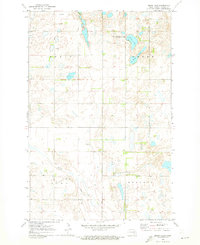
1970 · Moon Lake
USGS Topo · 1:24,000
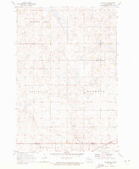
1970 · Marion NE
USGS Topo · 1:24,000
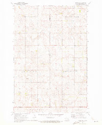
1970 · Marion NW
USGS Topo · 1:24,000
1970 · Sanborn
USGS Topo · 1:24,000