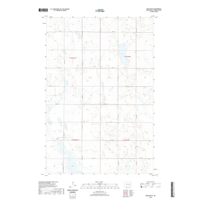
2020 Map of Eckelson SE
USGS Topo · Published 2020About this map
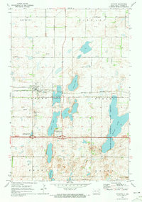
The prairie pothole landscape of Barnes County is defined by its numerous wetlands and glacial depressions, most notably Kee Lake in the northeastern section of this survey. The terrain is structured by the Public Land Survey System, with the boundaries of t139n r61w, t139n r60w, t138n r61w, and t138n r60w converging near the center. This grid-based development is reflected in the network of section-line roads, such as 100th Ave SE and 38th St SE, which have dictated the pattern of agricultural settlement for generations. For those tracing family history in the area, Elim Cem provides a specific point of reference in the southeastern corner, serving as a quiet landmark amidst the vast stretches of cropland and water-filled basins that characterize this portion of North Dakota.
Find a feature on this map
17 named features on this map. Tap any name to fly to it.
Don’t see what you’re looking for? This feature index may not catch every label — zoom into the map to look around manually.
Map Details
Editions of this 2020 Eckelson SE Map
This is the sole edition of this map. No revisions or reprints were ever made.
Other maps of this area

1897 · Eckelson
USGS Topo · 1:125,000

1953 · Jamestown
USGS Topo · 1:250,000

1956 · Jamestown
USGS Topo · 1:250,000

1970 · Litchville
USGS Topo · 1:24,000

1970 · Eckelson
USGS Topo · 1:24,000
1970 · Spiritwood
USGS Topo · 1:24,000
1970 · Moon Lake
USGS Topo · 1:24,000

1970 · Marion NE
USGS Topo · 1:24,000
1970 · Marion NW
USGS Topo · 1:24,000
1970 · Sanborn
USGS Topo · 1:24,000