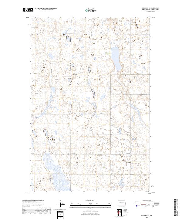
2024 Map of Eckelson SE
USGS Topo · Published 2024About this map
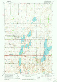
The Barnes County Waterfowl Production Area dominates this prairie landscape, with its protected wetlands and conservation boundaries fragmented across several townships. This area of North Dakota is defined by its glacial potholes and drainage patterns, most visible at Kee Lake in the northeastern portion of the sheet. The human footprint is marked by a strict section-line grid of rural roads, including 100th Ave SE and 40th St SE, which facilitate access to the surrounding agricultural tracts. A lone point of genealogical interest, the Elim Cem, sits in the southeastern corner near the intersection of 44th St SE and 104th Ave SE, serving as a quiet landmark for the rural families who settled this part of the county.
Find a feature on this map
19 named features on this map. Tap any name to fly to it.
Don’t see what you’re looking for? This feature index may not catch every label — zoom into the map to look around manually.
Map Details
Editions of this 2024 Eckelson SE Map
This is the sole edition of this map. No revisions or reprints were ever made.
Other maps of this area

1897 · Eckelson
USGS Topo · 1:125,000

1953 · Jamestown
USGS Topo · 1:250,000

1956 · Jamestown
USGS Topo · 1:250,000

1970 · Litchville
USGS Topo · 1:24,000

1970 · Eckelson
USGS Topo · 1:24,000
1970 · Spiritwood
USGS Topo · 1:24,000
1970 · Moon Lake
USGS Topo · 1:24,000

1970 · Marion NE
USGS Topo · 1:24,000
1970 · Marion NW
USGS Topo · 1:24,000
1970 · Sanborn
USGS Topo · 1:24,000