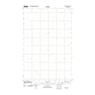
2011 Map of Eckman SE
USGS Topo · Published 2011About this map
Cut Bank Creek winds through the northeast corner of this McHenry County landscape, representing one of the few natural hydrographic features in an area dominated by the precise geometry of the Public Land Survey System. The terrain is defined by a dense grid of section-line roads, such as 83rd St NW and 22nd Ave N, which facilitate the region's agricultural movement. Along the southern boundary, more established thoroughfares like Glenburn Rd and County Hwy-17 provide regional connectivity across the prairie. This 2011 survey illustrates the modern rural infrastructure of North Dakota, where the vast majority of the landscape is partitioned for cultivation, leaving only scattered small depressions and the singular path of the creek as interruptions to the engineered grid.
Find a feature on this map
26 named features on this map. Tap any name to fly to it.
Don’t see what you’re looking for? This feature index may not catch every label — zoom into the map to look around manually.
Map Details
Editions of this 2011 Eckman SE Map
This is the sole edition of this map. No revisions or reprints were ever made.
Other maps of this area

1948 · Newburg SW
USGS Topo · 1:24,000

1949 · Glenburn
USGS Topo · 1:24,000

1949 · Deering NW
USGS Topo · 1:24,000

1949 · Newburg SW
USGS Topo · 1:24,000

1949 · Granville NW
USGS Topo · 1:24,000

1949 · Maxbass
USGS Topo · 1:24,000

1949 · Eckman SE
USGS Topo · 1:24,000

1949 · Eckman
USGS Topo · 1:24,000

1949 · Deering
USGS Topo · 1:24,000

1950 · Newburg
USGS Topo · 1:24,000