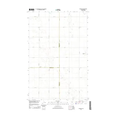
2014 Map of Eckman SE
USGS Topo · Published 2014About this map
Our Savior Cem serves as a central landmark at the intersection of McHenry, Renville, and Bottineau counties in this rural 2014 survey. The landscape is defined by a rigorous section-line road grid, including CR-0530 and CR-20, which navigate a terrain pocketed with numerous small wetlands and prairie potholes. Agricultural activity is the primary driver of the local economy, punctuated by the private Welstad Farms Airstrip in the eastern portion of the sheet. In the northern reaches, the seasonal flow of Cut Bank Cr cuts across the plains, representing the primary drainage for this open country. The placement of the church and cemetery on the Bottineau Co Renville Co border reflects the historical pattern of placing community institutions at accessible boundary points for disparate farming families.
Find a feature on this map
32 named features on this map. Tap any name to fly to it.
Don’t see what you’re looking for? This feature index may not catch every label — zoom into the map to look around manually.
Map Details
Editions of this 2014 Eckman SE Map
This is the sole edition of this map. No revisions or reprints were ever made.
Other maps of this area
1948 · Newburg SW
USGS Topo · 1:24,000
1949 · Glenburn
USGS Topo · 1:24,000
1949 · Deering NW
USGS Topo · 1:24,000
1949 · Newburg SW
USGS Topo · 1:24,000
1949 · Granville NW
USGS Topo · 1:24,000
1949 · Maxbass
USGS Topo · 1:24,000
1949 · Eckman SE
USGS Topo · 1:24,000
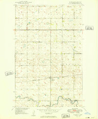
1949 · Eckman
USGS Topo · 1:24,000
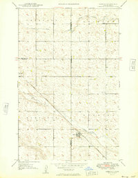
1949 · Deering
USGS Topo · 1:24,000
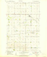
1950 · Newburg
USGS Topo · 1:24,000