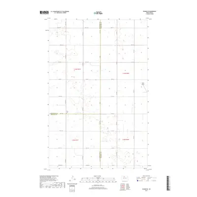
2017 Map of Eckman SE
USGS Topo · Published 2017About this map
The agricultural landscape of McHenry County meets the borders of Bottineau and Renville counties in this detailed survey of the North Dakota prairie. Centered on the intersection of township lines t159n r81w and t159n r80w, the map illustrates a region defined by the Jeffersonian grid, where section-line roads like 83rd St NW and Glenburn Rd partition the plains into productive farmsteads. Local history is anchored by Our Savior Cem situated on the county line, while the Welstad Farms Airstrip in the eastern portion of the quadrangle highlights the continued importance of private aviation in managing these expansive northern reaches.
Find a feature on this map
27 named features on this map. Tap any name to fly to it.
Don’t see what you’re looking for? This feature index may not catch every label — zoom into the map to look around manually.
Map Details
Editions of this 2017 Eckman SE Map
This is the sole edition of this map. No revisions or reprints were ever made.
Other maps of this area
1948 · Newburg SW
USGS Topo · 1:24,000
1949 · Glenburn
USGS Topo · 1:24,000
1949 · Deering NW
USGS Topo · 1:24,000
1949 · Newburg SW
USGS Topo · 1:24,000
1949 · Granville NW
USGS Topo · 1:24,000
1949 · Maxbass
USGS Topo · 1:24,000
1949 · Eckman SE
USGS Topo · 1:24,000
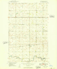
1949 · Eckman
USGS Topo · 1:24,000
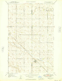
1949 · Deering
USGS Topo · 1:24,000
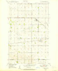
1950 · Newburg
USGS Topo · 1:24,000