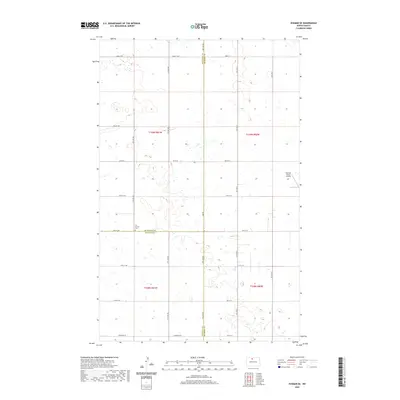
2020 Map of Eckman SE
USGS Topo · Published 2020About this map
Our Saviors Cem stands as a quiet marker of local heritage at the intersection of three North Dakota counties: Bottineau, Renville, and McHenry. This rural landscape is defined by the high density of small wetlands and prairie potholes that characterize the northern plains, creating a complex pattern of water and land. The map illustrates a strictly organized section-line road network, including Glenburn Rd and Co Rd 30, which navigate around these numerous natural basins. Agricultural activity is represented by the Welstad Farms Airstrip, reflecting the importance of aerial management in large-scale prairie farming. The survey provides a clear view of the territorial boundaries where Bottineau and Renville counties meet, showing how the 20th-century cadastral survey shapes the modern topography.
Find a feature on this map
24 named features on this map. Tap any name to fly to it.
Don’t see what you’re looking for? This feature index may not catch every label — zoom into the map to look around manually.
Map Details
Editions of this 2020 Eckman SE Map
This is the sole edition of this map. No revisions or reprints were ever made.
Other maps of this area
1948 · Newburg SW
USGS Topo · 1:24,000
1949 · Glenburn
USGS Topo · 1:24,000
1949 · Deering NW
USGS Topo · 1:24,000
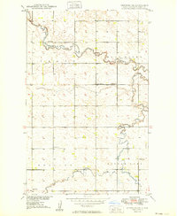
1949 · Newburg SW
USGS Topo · 1:24,000
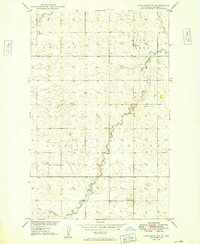
1949 · Granville NW
USGS Topo · 1:24,000
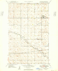
1949 · Maxbass
USGS Topo · 1:24,000
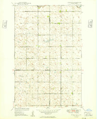
1949 · Eckman SE
USGS Topo · 1:24,000
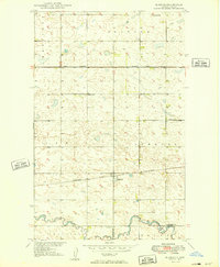
1949 · Eckman
USGS Topo · 1:24,000
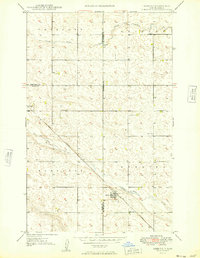
1949 · Deering
USGS Topo · 1:24,000
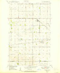
1950 · Newburg
USGS Topo · 1:24,000