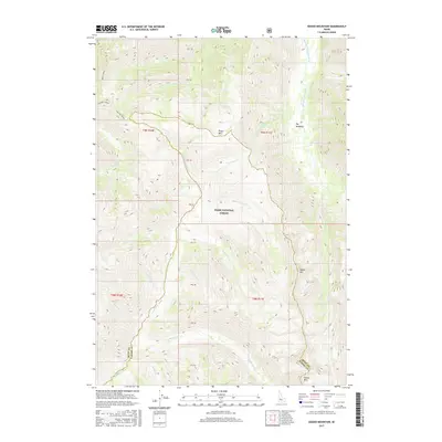
2017 Map of Edaho Mountain
USGS Topo · Published 2017About this map
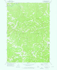
The Boise National Forest encompasses this wilderness landscape where the watershed divide separates the drainage systems of two major Idaho rivers. The northern section is dominated by the South Fork Payette River and its tributaries like Wapiti Cr and Mink Cr, while the southern half falls toward the N Fork Boise River. High elevations are marked by prominent peaks such as Edaho Mtn, Bugle Mtn, and Picket Mtn. Historical land use is suggested by the presence of Big Meadows and the extensive Ten Mile Ridge system. Surveyors noted numerous springs and small waterways, including Taylor Spring and McPhearson Cr, which carve through the steep terrain along the Boise and Elmore County line.
Find a feature on this map
35 named features on this map. Tap any name to fly to it.
Don’t see what you’re looking for? This feature index may not catch every label — zoom into the map to look around manually.
Map Details
Editions of this 2017 Edaho Mountain Map
This is the sole edition of this map. No revisions or reprints were ever made.
Other maps of this area
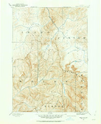
1891 · Bear Valley
USGS Topo · 1:125,000
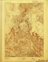
1893 · Bear Valley
USGS Topo · 1:125,000
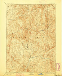
1894 · Rocky Bar
USGS Topo · 1:125,000

1955 · Hailey
USGS Topo · 1:250,000

1957 · Challis
USGS Topo · 1:250,000

1959 · Hailey
USGS Topo · 1:250,000

1960 · Challis
USGS Topo · 1:250,000

1962 · Hailey
USGS Topo · 1:250,000

1963 · Challis
USGS Topo · 1:250,000
1972 · Tyee Mountain
USGS Topo · 1:24,000