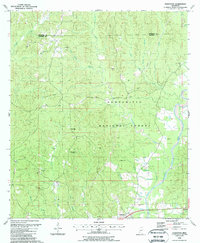
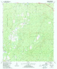
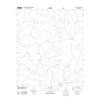
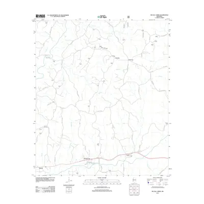
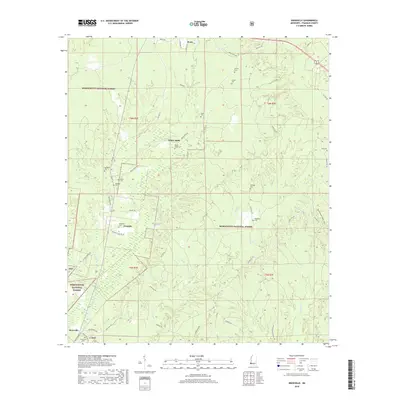
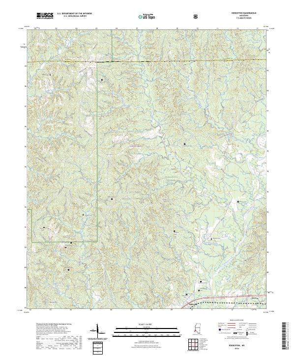
1988 Map of Eddiceton
USGS Topo · Published 1988About this map
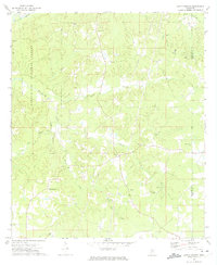
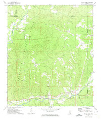
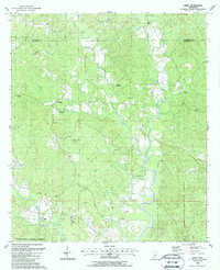
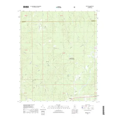
The Homochitto River carves a winding path through the center of this terrain, anchoring the heavily forested landscape of the Homochitto National Forest. In the late 1980s, the area retained a deeply rural character, marked by small settlements like Eddiceton and Quentin that developed along the rail line in the southern portion of the quadrangle. The map captures a quiet, faith-centered community structure, evidenced by numerous country churches such as Sarepta Ch and New Hope Ch, often accompanied by family and community burial grounds including the McDanial Cem and Williams Cem.
Find a feature on this map
42 named features on this map. Tap any name to fly to it.
Don’t see what you’re looking for? This feature index may not catch every label — zoom into the map to look around manually.
Map Details
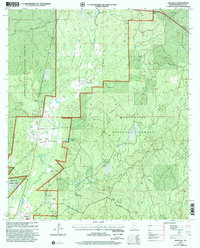
Editions of this 1988 Eddiceton Map
This is the sole edition of this map. No revisions or reprints were ever made.
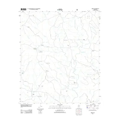
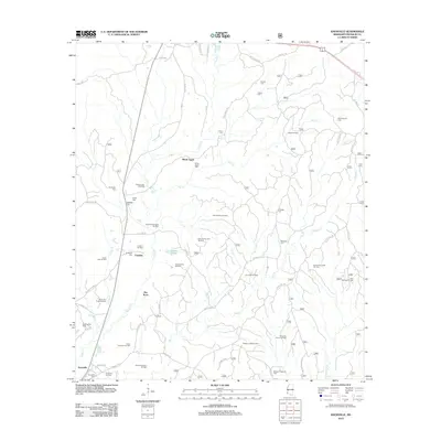
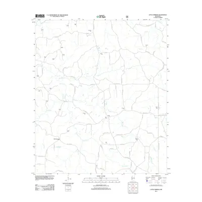
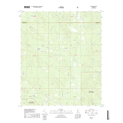
Historical Maps of New Hope Through Time
33 maps found
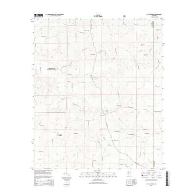
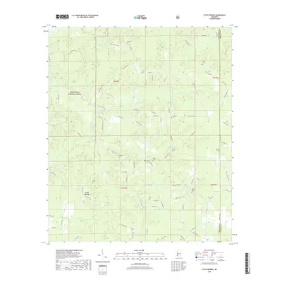
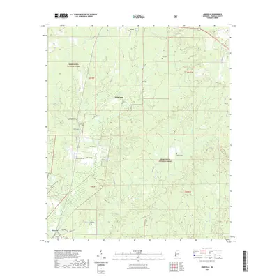
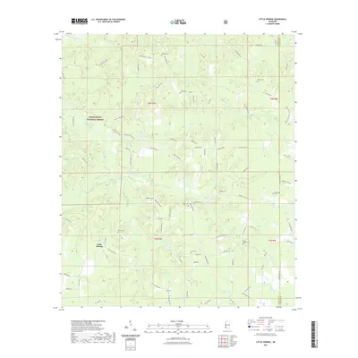
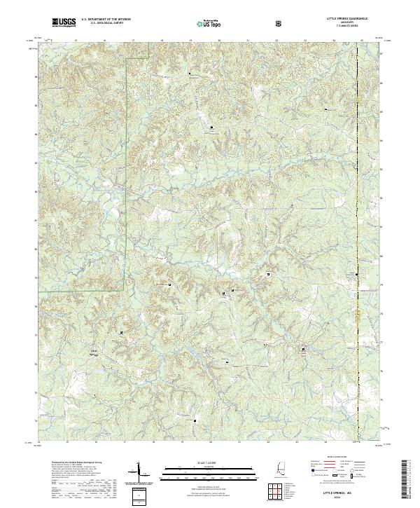
1972 Little Springs
Franklin County, MS
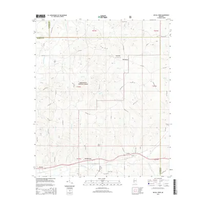
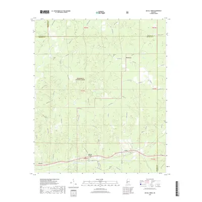
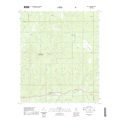
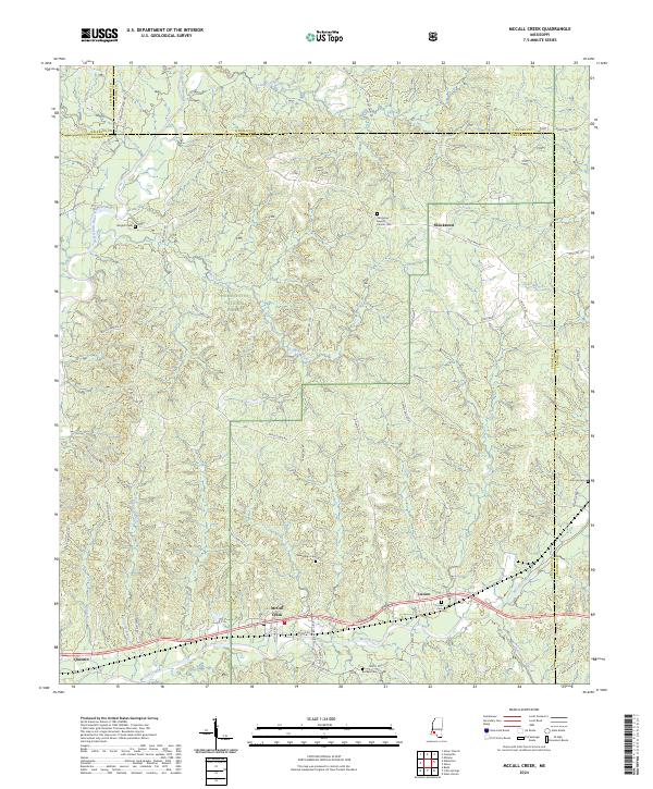
1972 McCall Creek
Franklin County, MS
1988 Eddiceton
Franklin County, MS
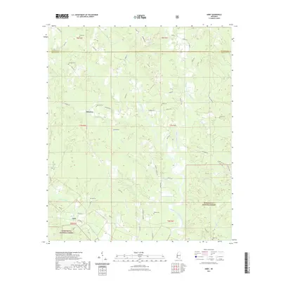
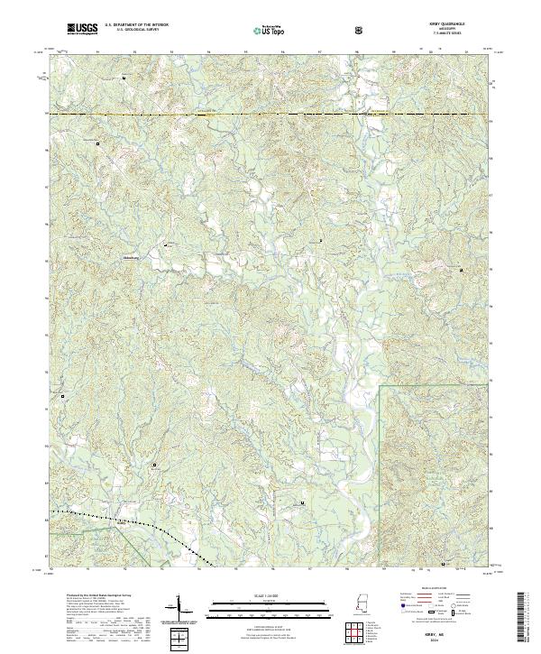
1988 Kirby
Franklin County, MS
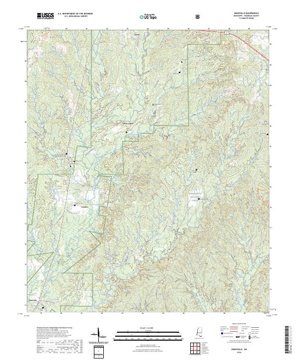
1988 Knoxville
Franklin County, MS
2000 Knoxville
Franklin County, MS
2000 Little Springs
Franklin County, MS
2000 McCall Creek
Franklin County, MS
2012 Eddiceton
Franklin County, MS
2012 Kirby
Franklin County, MS
2012 Knoxville
Franklin County, MS
2012 Little Springs
Franklin County, MS
2012 McCall Creek
Franklin County, MS
2015 Eddiceton
Franklin County, MS
2015 Kirby
Franklin County, MS
2015 Knoxville
Franklin County, MS
2015 Little Springs
Franklin County, MS
2015 McCall Creek
Franklin County, MS
2018 Eddiceton
Franklin County, MS
2018 Kirby
Franklin County, MS
2018 Knoxville
Franklin County, MS
2018 Little Springs
Franklin County, MS
2018 McCall Creek
Franklin County, MS

2021 Eddiceton
Franklin County, MS
2021 Kirby
Franklin County, MS
2021 Knoxville
Franklin County, MS
2021 Little Springs
Franklin County, MS
2021 McCall Creek
Franklin County, MS
2024 Eddiceton
Franklin County, MS
2024 Kirby
Franklin County, MS
2024 Knoxville
Franklin County, MS
2024 Little Springs
Franklin County, MS
2024 McCall Creek
Franklin County, MS