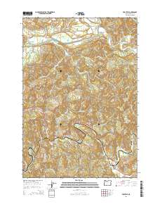
2014 Map of Eddyville
USGS Topo · Published 2014About this map
The Yaquina River and Siletz River define the winding drainage patterns of this Lincoln County landscape, where small rural communities are linked by the Corvallis-Newport Hwy and the Eddyville-Blodgett Hwy. The settlement of Eddyville serves as a local hub near the confluence of Little Elk Cr and the river, while Chitwood and Logsden maintain their distinct positions along the valley floors.
Find a feature on this map
73 named features on this map. Tap any name to fly to it.
Don’t see what you’re looking for? This feature index may not catch every label — zoom into the map to look around manually.
Map Details
Editions of this 2014 Eddyville Map
This is the sole edition of this map. No revisions or reprints were ever made.
Other maps of this area
1939 · Marys Peak
USGS Topo · 1:62,500
1942 · Euchre Mtn
USGS Topo · 1:62,500
1942 · Marys Peak
USGS Topo · 1:62,500
1942 · Valsetz
USGS Topo · 1:62,500
1942 · Toledo
USGS Topo · 1:62,500
1943 · Euchre Mtn
USGS Topo · 1:62,500

1953 · Salem
USGS Topo · 1:250,000

1954 · Salem
USGS Topo · 1:250,000
1956 · Valsetz
USGS Topo · 1:62,500
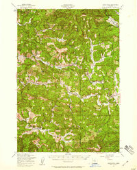
1957 · Marys Peak
USGS Topo · 1:62,500