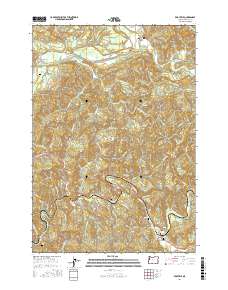
2017 Map of Eddyville
USGS Topo · Published 2017About this map
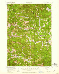
The Yaquina River winds through this coastal mountain landscape, anchoring the settlements of Eddyville and Chitwood. In this 2017 survey, the regional transportation network is defined by routes like the Pioneer Mountain Loop and the Nashville Rd, which connect small communities to the broader Oregon interior. The map reveals a high concentration of local burial sites, such as the Chitwood Cem, Eddy Cem, and Eddyville Cem, providing a clear spatial record for genealogists and local historians. To the north, the Siletz River passes near Logsden, while industrial legacy is visible at the WOW Log Pond. This geography highlights the persistent relationship between the timber-rich hills and the narrow river valleys that facilitate settlement and industry in Lincoln County.
Find a feature on this map
57 named features on this map. Tap any name to fly to it.
Don’t see what you’re looking for? This feature index may not catch every label — zoom into the map to look around manually.
Map Details
Editions of this 2017 Eddyville Map
This is the sole edition of this map. No revisions or reprints were ever made.
Other maps of this area
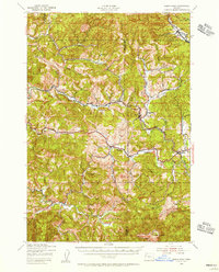
1939 · Marys Peak
USGS Topo · 1:62,500
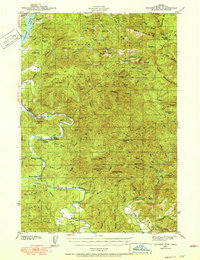
1942 · Euchre Mtn
USGS Topo · 1:62,500
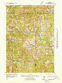
1942 · Marys Peak
USGS Topo · 1:62,500
1942 · Valsetz
USGS Topo · 1:62,500
1942 · Toledo
USGS Topo · 1:62,500
1943 · Euchre Mtn
USGS Topo · 1:62,500

1953 · Salem
USGS Topo · 1:250,000

1954 · Salem
USGS Topo · 1:250,000
1956 · Valsetz
USGS Topo · 1:62,500
1957 · Marys Peak
USGS Topo · 1:62,500