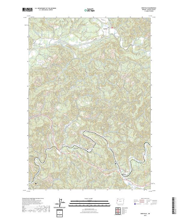
2023 Map of Eddyville
USGS Topo · Published 2023About this map
Eddyville and its surrounding river valleys define this 2023 landscape in Lincoln County, where the Yaquina River and Siletz River carve through the coastal range. The settlement of Chitwood remains a central point of interest, anchored by the Chitwood Cem and the nearby Crystal Creek Loop. Further north, Logsden serves as a rural hub along the riverbanks, connected by winding routes like Logsden Rd.
Find a feature on this map
66 named features on this map. Tap any name to fly to it.
Don’t see what you’re looking for? This feature index may not catch every label — zoom into the map to look around manually.
Map Details
Editions of this 2023 Eddyville Map
This is the sole edition of this map. No revisions or reprints were ever made.
Other maps of this area

1939 · Marys Peak
USGS Topo · 1:62,500

1942 · Euchre Mtn
USGS Topo · 1:62,500

1942 · Marys Peak
USGS Topo · 1:62,500

1942 · Valsetz
USGS Topo · 1:62,500

1942 · Toledo
USGS Topo · 1:62,500

1943 · Euchre Mtn
USGS Topo · 1:62,500

1953 · Salem
USGS Topo · 1:250,000

1954 · Salem
USGS Topo · 1:250,000

1956 · Valsetz
USGS Topo · 1:62,500

1957 · Marys Peak
USGS Topo · 1:62,500