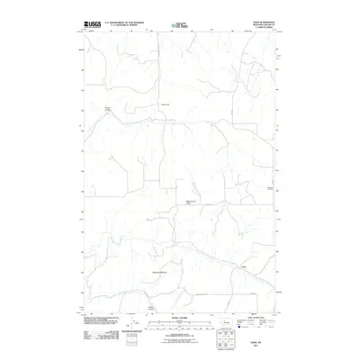
2011 Map of Eden
USGS Topo · Published 2011About this map
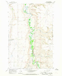
Eden sits in the southeast corner of this Montana landscape, where the high plains of Cascade County meet deeply carved drainage systems. The terrain is defined by dramatic erosion, most notably at the Pettapiece Badland and the prominent Ming Coulee Ridge. These features illustrate the geological forces that have shaped the region south of the Missouri River, creating a complex network of coulees that dictated early travel and settlement patterns.
Find a feature on this map
13 named features on this map. Tap any name to fly to it.
Don’t see what you’re looking for? This feature index may not catch every label — zoom into the map to look around manually.
Map Details
Editions of this 2011 Eden Map
This is the sole edition of this map. No revisions or reprints were ever made.
Other maps of this area

1886 · Great Falls
USGS Topo · 1:250,000

1954 · Great Falls
USGS Topo · 1:250,000

1955 · Stockett
USGS Topo · 1:62,500

1955 · Gore Hill
USGS Topo · 1:62,500

1957 · Great Falls
USGS Topo · 1:250,000

1965 · Eden
USGS Topo · 1:24,000
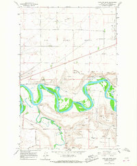
1965 · Antelope Butte
USGS Topo · 1:24,000
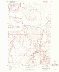
1965 · Southeast Great Falls
USGS Topo · 1:24,000
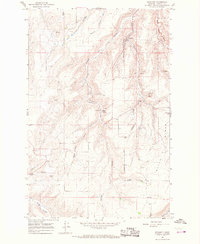
1965 · Stockett
USGS Topo · 1:24,000
1965 · Truly
USGS Topo · 1:24,000