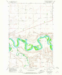
1965 Map of Antelope Butte
USGS Topo · Published 1967About this map
The confluence of the Smith River and the Missouri River anchors this mid-century topographical study, showcasing a landscape defined by sharp elevation shifts and winding waterways. Elevated plateaus like the Sun River Bench and Truly Bench tower over the river valleys, while local landmarks such as Antelope Butte and Wilson Butte provide distinct navigational points. The industrial footprint is visible through numerous Gravel Pits and a Quarry, supporting the regional infrastructure. Transportation during this era relied on the Great Northern rail line and established thoroughfares like Tenmile Lane and River Road. A Gaging Sta along the Missouri reflects the ongoing management of these vital water systems, while the presence of Radio Towers indicates the growing communication network of the 1960s.
Find a feature on this map
17 named features on this map. Tap any name to fly to it.
Don’t see what you’re looking for? This feature index may not catch every label — zoom into the map to look around manually.
Map Details
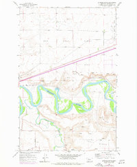
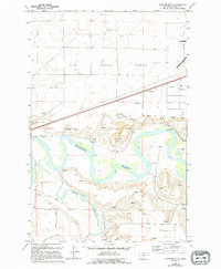
Editions of this 1965 Antelope Butte Map
3 editions found
Other maps of this area

1886 · Great Falls
USGS Topo · 1:250,000

1949 · Cascade
USGS Topo · 1:62,500

1949 · Great Falls
USGS Topo · 1:62,500

1949 · Vaughn
USGS Topo · 1:62,500

1951 · Great Falls
USGS Topo · 1:62,500

1951 · Cascade
USGS Topo · 1:62,500

1952 · Vaughn
USGS Topo · 1:62,500

1954 · Great Falls
USGS Topo · 1:250,000

1955 · Gore Hill
USGS Topo · 1:62,500

1957 · Great Falls
USGS Topo · 1:250,000