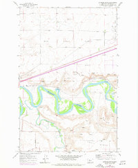
1965 Map of Antelope Butte
USGS Topo · Published 1977About this map
The confluence of the Smith River and the Missouri River dominates this mid-1960s landscape south of Great Falls. The terrain is defined by broad plateaus including Sun River Bench and Truly Bench, which drop sharply toward the winding river valleys. This area reflects a mix of vital infrastructure and natural landforms, where the Burlington Northern railroad tracks parallel the river's path, and local landmarks like Antelope Butte and Wilson Butte rise above the surrounding flats. Industrial activity is evident through numerous Gravel Pits and a Quarry located near the northern reaches. The proximity to the city is signaled by the edge of the Great Falls International Airport at the northeast corner, while more rural access is maintained via Tenmile Lane and River Road. The map also captures several natural Spring outlets and the deep cut of Lord Coulee feeding into the river system.
Find a feature on this map
18 named features on this map. Tap any name to fly to it.
Don’t see what you’re looking for? This feature index may not catch every label — zoom into the map to look around manually.
Map Details
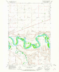
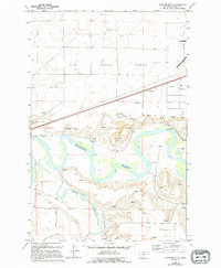
Editions of this 1965 Antelope Butte Map
3 editions found
Other maps of this area

1886 · Great Falls
USGS Topo · 1:250,000

1949 · Cascade
USGS Topo · 1:62,500

1949 · Great Falls
USGS Topo · 1:62,500

1949 · Vaughn
USGS Topo · 1:62,500

1951 · Great Falls
USGS Topo · 1:62,500

1951 · Cascade
USGS Topo · 1:62,500

1952 · Vaughn
USGS Topo · 1:62,500

1954 · Great Falls
USGS Topo · 1:250,000

1955 · Gore Hill
USGS Topo · 1:62,500

1957 · Great Falls
USGS Topo · 1:250,000