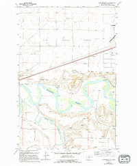
1965 Map of Antelope Butte
USGS Topo · Published 1994About this map
The Missouri River snakes through the heart of this landscape, meeting the Smith River in a territory defined by expansive plateaus and steep coulees. Initially surveyed in the mid-1960s, the terrain is dominated by the Sun River Bench to the north and Truly Bench to the south. Human activity is marked by infrastructure and resource extraction, including several Gravel Pits and a Mine tucked near the river bluffs. The map captures a moment of mid-century utility, showing a Weigh Station, multiple Radio Towers, and a Gaging Sta along the riverbanks. Rural travel is facilitated by Tenmile Lane and the winding River Road, while drainage features like Lord Coulee and numerous named Spring points illustrate the complex hydrology of the Montana plains.
Find a feature on this map
21 named features on this map. Tap any name to fly to it.
Don’t see what you’re looking for? This feature index may not catch every label — zoom into the map to look around manually.
Map Details
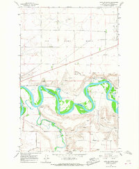
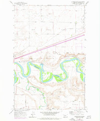
Editions of this 1965 Antelope Butte Map
3 editions found
Other maps of this area

1886 · Great Falls
USGS Topo · 1:250,000

1949 · Cascade
USGS Topo · 1:62,500

1949 · Great Falls
USGS Topo · 1:62,500

1949 · Vaughn
USGS Topo · 1:62,500

1951 · Great Falls
USGS Topo · 1:62,500

1951 · Cascade
USGS Topo · 1:62,500

1952 · Vaughn
USGS Topo · 1:62,500

1954 · Great Falls
USGS Topo · 1:250,000

1955 · Gore Hill
USGS Topo · 1:62,500

1957 · Great Falls
USGS Topo · 1:250,000