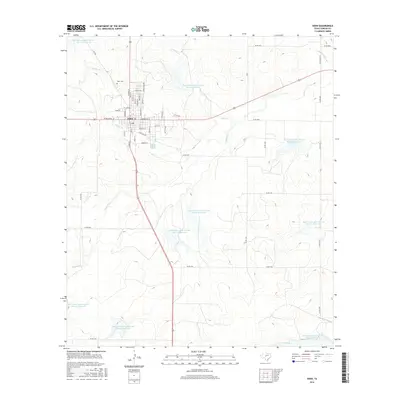
2016 Map of Eden
USGS Topo · Published 2016About this map
Eden serves as the central hub of this Concho County landscape, defined by a grid of named streets including N Main St, E Broadway St, and Maddison St. The town's historical geography is anchored by the Eden Cem to the northwest and a network of livestock-related infrastructure such as Stock Pen Rd. This era of the landscape is heavily influenced by mid-century water management efforts, evidenced by a series of numbered Soil Conservation Service reservoirs, including Site 35 Reservoir and Site 25 Reservoir, which dot the drainages of Kelly Cr and Brady Cr. These man-made features significantly altered the natural hydrology of local draws like Harden Br and Fitzgerald Cr, creating a patchwork of small lakes across the rural cattle country surrounding the town center.
Find a feature on this map
59 named features on this map. Tap any name to fly to it.
Don’t see what you’re looking for? This feature index may not catch every label — zoom into the map to look around manually.
Map Details
Editions of this 2016 Eden Map
This is the sole edition of this map. No revisions or reprints were ever made.
Other maps of this area
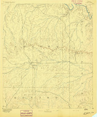
1892 · Eden
USGS Topo · 1:125,000
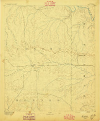
1896 · Eden
USGS Topo · 1:125,000
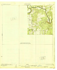
1931 · Stacy
USGS Topo · 1:62,500

1954 · Brownwood
USGS Topo · 1:250,000
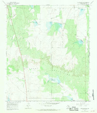
1967 · Millersview SE
USGS Topo · 1:24,000
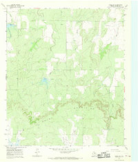
1967 · Doole SW
USGS Topo · 1:24,000
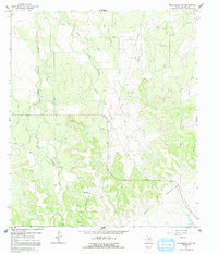
1967 · Millersview SW
USGS Topo · 1:24,000
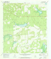
1970 · Live Oak
USGS Topo · 1:24,000
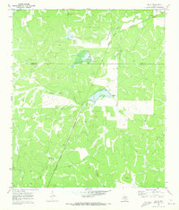
1970 · Callan
USGS Topo · 1:24,000
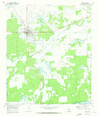
1970 · Eden
USGS Topo · 1:24,000