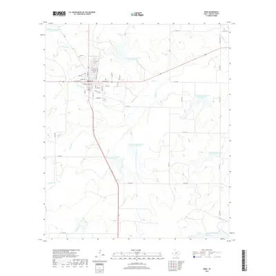
2019 Map of Eden
USGS Topo · Published 2019About this map
Eden serves as the central hub of this Concho County landscape, where the intersection of major roads like S Main St and E Broadway St anchors the small-town grid. The layout reflects a history tied to the land and transportation, evidenced by streets such as Stock Pen Rd near the town center and the Eden Cem to the north.
Find a feature on this map
53 named features on this map. Tap any name to fly to it.
Don’t see what you’re looking for? This feature index may not catch every label — zoom into the map to look around manually.
Map Details
Editions of this 2019 Eden Map
This is the sole edition of this map. No revisions or reprints were ever made.
Other maps of this area
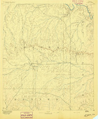
1892 · Eden
USGS Topo · 1:125,000
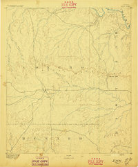
1896 · Eden
USGS Topo · 1:125,000
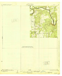
1931 · Stacy
USGS Topo · 1:62,500

1954 · Brownwood
USGS Topo · 1:250,000
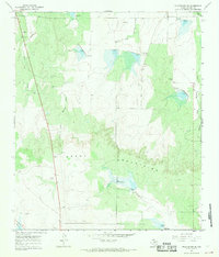
1967 · Millersview SE
USGS Topo · 1:24,000
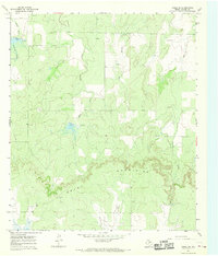
1967 · Doole SW
USGS Topo · 1:24,000
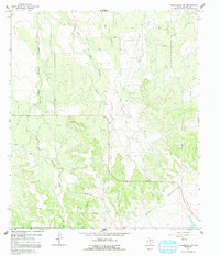
1967 · Millersview SW
USGS Topo · 1:24,000
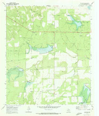
1970 · Live Oak
USGS Topo · 1:24,000
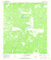
1970 · Callan
USGS Topo · 1:24,000
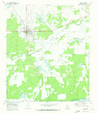
1970 · Eden
USGS Topo · 1:24,000