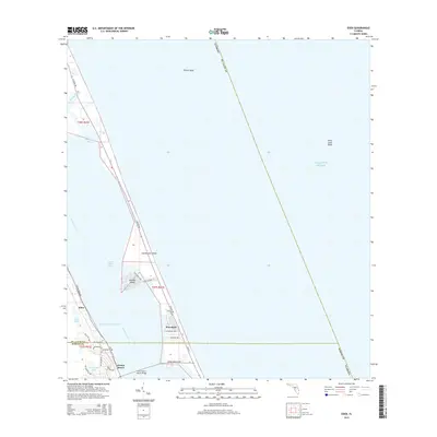
2015 Map of Eden
USGS Topo · Published 2015About this map
Hutchinson Island separates the Atlantic from the mainland in this detailed look at the Treasure Coast's intricate waterways. The landscape is defined by the Indian River Lagoon and the Intracoastal Waterway, which serve as the primary north-south conduits for maritime traffic and ecological life. Modern connectivity is centered on The Frank A Wacha Bridge and the Jensen Beach Cswy, linking the mainland to coastal developments.
Find a feature on this map
38 named features on this map. Tap any name to fly to it.
Don’t see what you’re looking for? This feature index may not catch every label — zoom into the map to look around manually.
Map Details
Editions of this 2015 Eden Map
This is the sole edition of this map. No revisions or reprints were ever made.
Other maps of this area

1948 · Palm City
USGS Topo · 1:24,000

1948 · Ankona
USGS Topo · 1:24,000

1948 · St. Lucie Inlet
USGS Topo · 1:24,000

1948 · Eden
USGS Topo · 1:24,000

1949 · Fort Pierce
USGS Topo · 1:24,000

1950 · St. Lucie Inlet
USGS Topo · 1:24,000

1950 · Ankona
USGS Topo · 1:24,000

1950 · Fort Pierce
USGS Topo · 1:24,000

1950 · Palm City
USGS Topo · 1:24,000
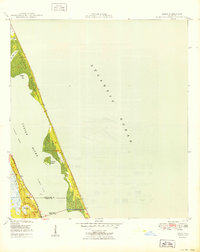
1950 · Eden
USGS Topo · 1:24,000