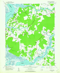
1983 Map of Eden
USGS Topo · Published 1983About this map
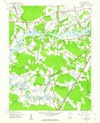
The Wicomico River and its intricate network of tidal creeks dominate this early 1980s orthophotomap, which captures the rural transition between Somerset and Wicomico counties. The landscape is defined by its maritime heritage and agricultural roots, visible in the numerous wharves and landings that dot the riverbanks, including Quantico Wharf, Simms Wharf, and Wagner Landing. The survival of the Upper Ferry crossing provides a tangible link to a bygone era of river-based transportation that once connected small inland hamlets like Quantico and Allen to the broader Chesapeake economy.
Find a feature on this map
91 named features on this map. Tap any name to fly to it.
Don’t see what you’re looking for? This feature index may not catch every label — zoom into the map to look around manually.
Map Details
Editions of this 1983 Eden Map
This is the sole edition of this map. No revisions or reprints were ever made.
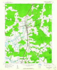
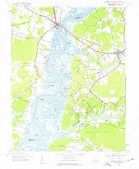
Other maps of this area

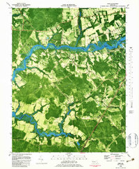
1901 · Salisbury
USGS Topo · 1:62,500

1903 · Nanticoke
USGS Topo · 1:62,500

1903 · Deal Island
USGS Topo · 1:62,500

1942 · Monie
USGS Topo · 1:24,000
1942 · Wetipquin
USGS Topo · 1:24,000
1942 · Princess Anne
USGS Topo · 1:24,000
1942 · Mardela Springs
USGS Topo · 1:24,000
1942 · Eden
USGS Topo · 1:24,000
1942 · Hebron
USGS Topo · 1:24,000

1942 · Dividing Creek
USGS Topo · 1:24,000