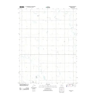
2011 Map of Edgar NW
USGS Topo · Published 2011About this map
Edgar sits at the southwestern edge of this Clay County landscape, where the town's grid meets the expansive agricultural survey lines of south-central Nebraska. The terrain is defined by the winding course of Big Sandy Creek and Little Sandy Creek, which break the geometric regularity of the section roads. A significant local landmark, Evergreen Cemetery, is located north of the town center, serving as a primary point of interest for those tracing family roots in the region. The map illustrates a strictly organized rural infrastructure, dominated by a network of numbered and lettered routes such as Road 305 and Road R. This 2011 survey reflects the enduring character of the Nebraska prairie, where watercourses remain the only natural deviation from the disciplined township and range system.
Find a feature on this map
20 named features on this map. Tap any name to fly to it.
Don’t see what you’re looking for? This feature index may not catch every label — zoom into the map to look around manually.
Map Details
Editions of this 2011 Edgar NW Map
This is the sole edition of this map. No revisions or reprints were ever made.
Other maps of this area

1898 · York
USGS Topo · 1:125,000

1898 · Superior
USGS Topo · 1:125,000

1898 · Hebron
USGS Topo · 1:125,000

1898 · Grand Island
USGS Topo · 1:125,000

1899 · York
USGS Topo · 1:125,000

1955 · Lincoln
USGS Topo · 1:250,000

1955 · Grand Island
USGS Topo · 1:250,000

1957 · Lincoln
USGS Topo · 1:250,000

1957 · Grand Island
USGS Topo · 1:250,000

1958 · Grand Island
USGS Topo · 1:250,000