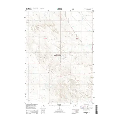
2015 Map of Edgemont SW
USGS Topo · Published 2015About this map
Buffalo Gap National Grassland dominates this corner of Fall River County, where the high plains landscape is carved by a complex drainage system. The Cheyenne River flows through the northeast, fed by seasonal watercourses like Moss Agate Cr, Driftwood Cr, and Dry Cr. Evidence of early 21st-century land management and water control is visible through features like the Fiddle Cr Reservoir and the Tubbs Canal, which divert water across this arid rangeland. The township and range lines of t8s r1e and t9s r2e provide a clear structural grid for the territory, while local infrastructure is represented by routes such as Co Hwy 9a and Co HWY 9. This survey is particularly useful for understanding the intersection of federal grazing lands and hydraulic engineering in southwestern South Dakota.
Find a feature on this map
16 named features on this map. Tap any name to fly to it.
Don’t see what you’re looking for? This feature index may not catch every label — zoom into the map to look around manually.
Map Details
Editions of this 2015 Edgemont SW Map
This is the sole edition of this map. No revisions or reprints were ever made.
Other maps of this area
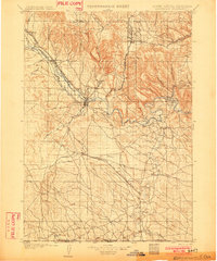
1902 · Edgemont
USGS Topo · 1:125,000
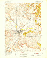
1950 · Edgemont
USGS Topo · 1:24,000
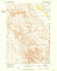
1950 · Edgemont SW
USGS Topo · 1:24,000
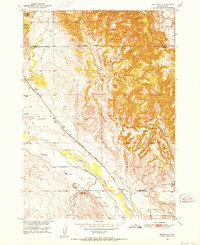
1950 · Burdock
USGS Topo · 1:24,000
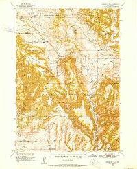
1950 · Edgemont NE
USGS Topo · 1:24,000
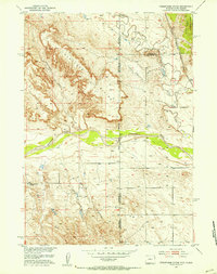
1951 · Twentyone Divide
USGS Topo · 1:24,000

1955 · Hot Springs
USGS Topo · 1:250,000

1955 · Newcastle
USGS Topo · 1:250,000

1958 · Newcastle
USGS Topo · 1:250,000
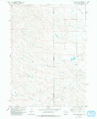
1978 · Coffee Flats
USGS Topo · 1:24,000