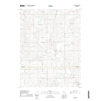
2017 Map of Edgerton
USGS Topo · Published 2017About this map
The Platte River snakes through this agricultural landscape, forming the natural boundary between Buchanan and Platte counties as it flows southward. The town of Edgerton serves as the primary settlement in the southeast, situated near the confluence of Grove Cr and the river. This region is characterized by its numerous family and community burial grounds, which offer significant genealogical value for those researching the early residents of these river-bottom townships.
Find a feature on this map
86 named features on this map. Tap any name to fly to it.
Don’t see what you’re looking for? This feature index may not catch every label — zoom into the map to look around manually.
Map Details
Editions of this 2017 Edgerton Map
This is the sole edition of this map. No revisions or reprints were ever made.
Other maps of this area
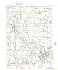
1890 · Kansas City
USGS Topo · 1:125,000
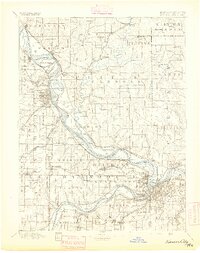
1894 · Kansas City
USGS Topo · 1:125,000
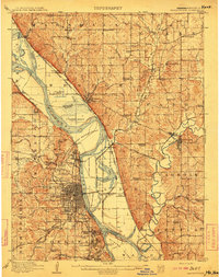
1910 · Leavenworth
USGS Topo · 1:62,500
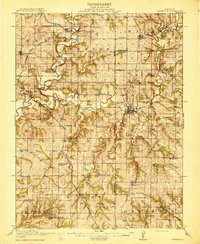
1914 · Smithville
USGS Topo · 1:62,500
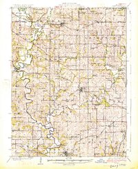
1925 · Gower
USGS Topo · 1:62,500
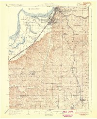
1927 · Dearborn
USGS Topo · 1:62,500
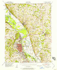
1948 · Leavenworth
USGS Topo · 1:62,500
1950 · Kansas City
USGS Topo · 1:250,000
1950 · Smithville
USGS Topo · 1:62,500
1951 · Smithville
USGS Topo · 1:24,000