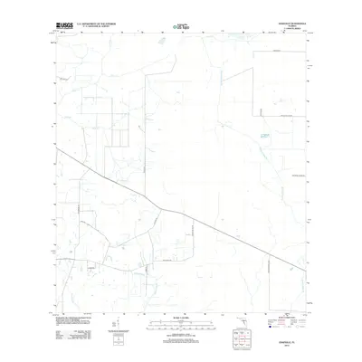
2012 Map of Edgeville
USGS Topo · Published 2012About this map
Low-lying wetlands and drainage channels define the rural landscape of the Edgeville area, where water moves slowly through Wildcat Slough and Bud Slough in the south. The terrain is crisscrossed by a network of local roads that follow the section lines of the Florida interior, including Sugarbowl Rd and Altman Rd. This 2012 survey illustrates the agricultural character of the region, marked by extensive drainage features like Sand Br and Buzzard Roost Branch. The presence of Desoto Coline Rd indicates the proximity to the county boundary, while more specialized local routes like Clay Gully Rd and Nw Lily Coline Rd provide access to the interior pastures and citrus groves that characterize this part of Manatee County.
Find a feature on this map
19 named features on this map. Tap any name to fly to it.
Don’t see what you’re looking for? This feature index may not catch every label — zoom into the map to look around manually.
Map Details
Editions of this 2012 Edgeville Map
This is the sole edition of this map. No revisions or reprints were ever made.
Other maps of this area

1956 · Ona
USGS Topo · 1:24,000

1956 · Myakka City
USGS Topo · 1:24,000

1956 · Edgeville
USGS Topo · 1:24,000

1956 · Myakka City NW
USGS Topo · 1:24,000

1956 · Murdock NE
USGS Topo · 1:24,000

1956 · Myakka Head
USGS Topo · 1:24,000

1956 · Limestone
USGS Topo · 1:24,000

1956 · Nocatee
USGS Topo · 1:24,000

1956 · Murdock NW
USGS Topo · 1:24,000

1956 · Tampa
USGS Topo · 1:250,000